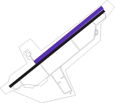
Shtruklovo
Airport details
| Country | Bulgaria |
| State | [Other] |
| Region | |
| Airspace | Sofia Ctr |
| Municipality | Shtraklevo |
| Elevation | 612ft (187m) |
| Timezone | GMT +2 |
| Coordinates | 43.69336, 26.04902 |
| Magnetic var | |
| Type | land |
| Available since | X-Plane v10.40 |
| ICAO code | LB24 |
| IATA code | n/a |
| FAA code | n/a |
Communication
Nearby Points of Interest:
Rusenski Lom Nature Park
-Old High School of Music, Ruse
-Lyuben Karavelov Regional Library
-English Language School "Geo Milev"
-Clock Tower of Giurgiu
-Dormition of the Theotokos Cathedral, Giurgiu
-Comana Natural Park
Nearby beacons
| code | identifier | dist | bearing | frequency |
|---|---|---|---|---|
| GRN | GORNA VOR/DME | 35.6 | 212° | 115.55 |
| GNA | GORNA (GORNA ORYAHOVITSA) NDB | 37.1 | 219° | 284 |
| BSW | BANEASA (BUCHAREST) NDB | 46.9 | 353° | 521 |
| FLR | FLORESTI VOR/DME | 50.6 | 337° | 112.20 |
| BSE | BANEASA (BUCHAREST) NDB | 50.8 | 12° | 256 |
| OPW | OTOPENI (BUCHAREST) NDB | 51.9 | 356° | 267 |
| OTL | OTOPENI (BUCHAREST) NDB | 52.7 | 357° | 370 |
| LL | OTOPENI (BUCHAREST) NDB | 52.9 | 1° | 659 |
| OPE | OTOPENI (BUCHAREST) NDB | 53.3 | 10° | 349 |
| VRB | DME | 53.4 | 141° | 114.55 |
| OTR | OTOPENI (BUCHAREST) NDB | 54.3 | 12° | 318 |
| OPT | ROSIORI VOR/DME | 58.3 | 30° | 117.10 |
Disclaimer
The information on this website is not for real aviation. Use this data with the X-Plane flight simulator only! Data taken with kind consent from X-Plane 12 source code and data files. Content is subject to change without notice.

