Polinyà De Xúquer - Ulm Albalat 2
Airport details
| Country | Spain |
| State | Valencian Community |
| Region | |
| Airspace | Barcelona Ctr |
| Municipality | Albalat de la Ribera |
| Elevation | 32ft (10m) |
| Timezone | GMT +1 |
| Coordinates | 39.22079, -0.37009 |
| Magnetic var | |
| Type | land |
| Available since | X-Plane v10.40 |
| ICAO code | LE95 |
| IATA code | n/a |
| FAA code | n/a |
Communication
Nearby Points of Interest:
Pont de ferro (Albalat)
-Torre de Trullàs
-Escuelas Jardín del Ateneo
-Capella del Santíssim Crist de l'Hospitalet
-Church of Saint Peter (Sueca)
-Church of Our Lady of Fatima, Sueca
-Church of the Immaculate
-Torre Luengo
-Torre del Borrero
-Casa de la Cultura
-Círculo Alcireño
-Market of Alginet
-Casa Cucó
-Sant Antoni Abat d'Alginet
-Chapel of Saint Joseph
-Palau fortalesa del senyoriu d'Alginet
-Casa Consistorial d'Alzira
-Escuts del carrer Sant Roc d'Alzira
-Pont de ferro sobre el Xúquer a Alzira
-Monestir de Santa Llúcia d'Alzira
-Xemeneia Industrial La Constructora
-Monastery Corpus Christi of Carcaixent
-Església de Sant Bartomeu de Cogullada
-Hermitage of Saint Roch
-Old posthouse in Silla
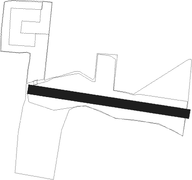
Runway info
| Runway 09 / 27 | ||
| length | 260m (853ft) | |
| bearing | 100° / 280° | |
| width | 15m (49ft) | |
| surface | grass | |
Nearby beacons
| code | identifier | dist | bearing | frequency |
|---|---|---|---|---|
| PND | PINEDO (VALENCIA) NDB | 13 | 6° | 340 |
| VLC | VALENCIA VOR/DME | 16.7 | 337° | 116.10 |
| EBT | BETERA NDB | 24.7 | 346° | 362 |
| SGO | SAGUNTO (VALENCIA) NDB | 28.2 | 20° | 356 |
| CLS | CALLES (VALENCIA) VOR/DME | 40.8 | 308° | 117.55 |
| ATE | ALICANTE VOR/DME | 57 | 193° | 114.65 |
| AI | ALICANTE NDB | 57.1 | 197° | 330 |
| ALT | ALTET VOR/DME | 57.9 | 192° | 113.80 |
| CTN | CASTELLON VOR/DME | 63.5 | 25° | 117.05 |
Disclaimer
The information on this website is not for real aviation. Use this data with the X-Plane flight simulator only! Data taken with kind consent from X-Plane 12 source code and data files. Content is subject to change without notice.