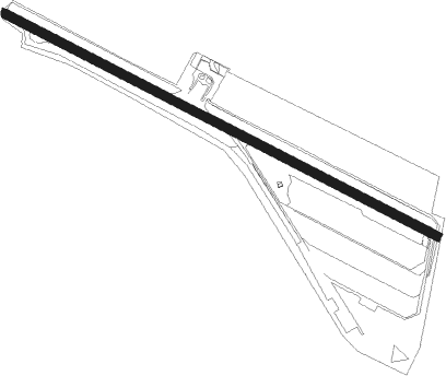
Málaga - Leoni Benabu
Airport details
| Country | Spain |
| State | Andalusia |
| Region | LE |
| Airspace | Madrid Ctr |
| Municipality | Vélez-Málaga |
| Elevation | 160ft (49m) |
| Timezone | GMT +1 |
| Coordinates | 36.80167, -4.13556 |
| Magnetic var | |
| Type | land |
| Available since | X-Plane v10.40 |
| ICAO code | LEAX |
| IATA code | n/a |
| FAA code | n/a |
Communication
| Leoni Benabu Radio tower | 123.500 |
Nearby Points of Interest:
Antiguo Convento de San José de la Soledad
-Centro Histórico de Vélez-Málaga
-Torre del Despoblado de Almayate Alto
-Desembocadura del río Vélez
-Edificio del Club Náutico
-Iglesia de Nuestra Señora del Rosario
-Alminar
-Alminar de Árchez
-Cueva del Boquete de Zafarraya (Alcaucín)
-Antiguo Convento de Nuestra Señora de las Nieves (Torrox)
-Torre de Calaceite
-Centro Histórico de Frigiliana
-Castillo de Frigiliana
-Abrigos de Peñas Cabrera
-Villa Fernanda
-Palacio de la Tinta
-Edificio de viviendas Desfile del Amor
-Ayuntamiento building
-Palacio del Marqués de la Sonora
-Palacio del Conde de Villalcázar
-Centro Cultural Provincial
-Casa en Calle Salinas, nº 6
-Edificio La Equitativa
-Almacenes Félix Sáenz
-Casa Barroca de las Atarazanas
Nearby beacons
| code | identifier | dist | bearing | frequency |
|---|---|---|---|---|
| MGA | MALAGA VOR/DME | 11.2 | 273° | 112 |
| AGP | MALAGA VOR/DME | 18.3 | 252° | 117.15 |
| RMA | MALAGA NDB | 18.5 | 247° | 330 |
| MLG | MALAGA AEROPUERTO SUR VOR/DME | 19.3 | 252° | 113.55 |
| GM | MALAGA NDB | 21.4 | 260° | 350 |
| GDA | GRANADA VOR/DME | 23.9 | 21° | 113.40 |
| GR | GRANADA OESTE NDB | 27.1 | 37° | 285 |
| TGR | GRANADA TACAN | 31.2 | 57° | 113.10 |
| GRA | GRANADA NDB | 32 | 50° | 412 |
| MAR | MARTIN VOR/DME | 41.5 | 288° | 112.60 |
Disclaimer
The information on this website is not for real aviation. Use this data with the X-Plane flight simulator only! Data taken with kind consent from X-Plane 12 source code and data files. Content is subject to change without notice.
