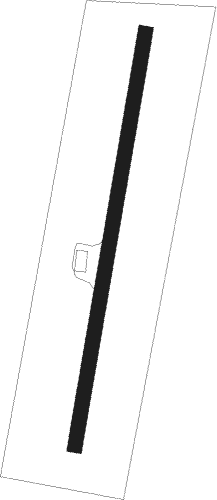
Segovia - Castell De Castells Cocoll
Airport details
| Country | Spain |
| State | Valencian Community |
| Region | |
| Airspace | Barcelona Ctr |
| Municipality | Tàrbena |
| Elevation | 3019ft (920m) |
| Timezone | GMT +1 |
| Coordinates | 38.72825, -0.14525 |
| Magnetic var | |
| Type | land |
| Available since | X-Plane v10.40 |
| ICAO code | LECX |
| IATA code | n/a |
| FAA code | n/a |
Communication
Nearby Points of Interest:
Barranc del Xorquet
-church of Saint Anne
-Castle of La Serrella
-Església de Sant Miquel Arcàngel de Murla
-Torre de la Casota
-Sa Cova de ses Lletres
-Església de Santa Maria de Xaló
-Ermita de Sant Doménec de Xaló
-Església de l'Assumpció de Pego
-Ermita de Sant Vicent Ferrer de la Nucia
-Castell de Seta
-Torre d'Alcoleja
-Torre del Palau dels Barons de Finestrat
-Torreta de Canor
-Torre de Millena
-Torre d'Oliva
-Castell de Relleu
-Sala de Jurats i Justícies
-Ermita de la Divina Pastora de Teulada
-Hermitage of Saint Joseph, Ador
-Church of Our Lady of Loreto, Ador
-Castle of Benifallim
-Arch of Castellonet de la Conquesta
-Castillo de Alcocer de Planes
-Ermita de la Font Santa de Teulada
Nearby beacons
| code | identifier | dist | bearing | frequency |
|---|---|---|---|---|
| ATE | ALICANTE VOR/DME | 33.6 | 225° | 114.65 |
| ALT | ALTET VOR/DME | 34 | 223° | 113.80 |
| AI | ALICANTE NDB | 35.4 | 230° | 330 |
| PND | PINEDO (VALENCIA) NDB | 43.6 | 344° | 340 |
| VLC | VALENCIA VOR/DME | 48.1 | 336° | 116.10 |
| EBT | BETERA NDB | 55.9 | 340° | 362 |
| SGO | SAGUNTO (VALENCIA) NDB | 56.8 | 356° | 356 |
| VSJ | SAN JAVIER VORTAC | 65 | 215° | 113 |
| CLS | CALLES (VALENCIA) VOR/DME | 70.6 | 319° | 117.55 |
| MUR | MURCIA VOR/DME | 72.1 | 226° | 114.85 |
Disclaimer
The information on this website is not for real aviation. Use this data with the X-Plane flight simulator only! Data taken with kind consent from X-Plane 12 source code and data files. Content is subject to change without notice.
