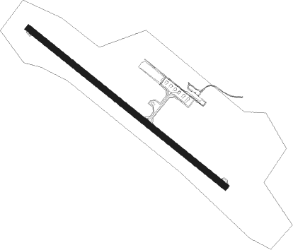
Lleida - Lleida Alguaire
Airport details
| Country | Spain |
| State | Catalonia |
| Region | LE |
| Airspace | Barcelona Ctr |
| Municipality | Alguaire |
| Elevation | 1150ft (351m) |
| Timezone | GMT +1 |
| Coordinates | 41.72805, 0.53528 |
| Magnetic var | |
| Type | land |
| Available since | X-Plane v10.40 |
| ICAO code | LEDA |
| IATA code | ILD |
| FAA code | n/a |
Communication
| Lleida Alguaire Ground Control | 121.625 |
| Lleida Alguaire Tower | 121.325 |
Approach frequencies
| ILS-cat-I | RW31 | 110.9 | 18.00mi |
| 3° GS | RW31 | 110.9 | 18.00mi |
Nearby Points of Interest:
Castell d'Alguaire
-Cal Tomanys
-Escoles
-Església de Sant Pere Ad Vincula
-Cal Negre
-Escoles de Raïmat
-Església de Raïmat
-Teatre Novedades
-Cal Franco
-Creu del Soldevila
-Casa Seró
-Nucli històric d'Almacelles
-Porxos i edificis de la plaça de la Vila
-Santa Maria d'Almenar
-Casa Clara
-La Grallera
-Sant Joan de Benavent de Segrià
-El Convent
-La Ginesta
-Creu de terme
-L'Assumpció de Torre-serona
-Belvedere
-Sant Isidre de Sucs
-Hermanitas de Los Pobres
Nearby beacons
| code | identifier | dist | bearing | frequency |
|---|---|---|---|---|
| LLE | ILERDA VOR/DME | 0.3 | 282° | 113.60 |
| LRD | LERIDA NDB | 11.6 | 147° | 404 |
| MLA | MAELLA VOR/DME | 39.6 | 212° | 112.10 |
| HUE | HUESCA VOR/DME | 43.4 | 292° | 114.55 |
| RUS | REUS NDB | 44.3 | 134° | 424 |
| RES | REUS VOR/DME | 45 | 132° | 114.20 |
| TON | TORRALBA DE ARAGON NDB | 48.4 | 281° | 335 |
| ZAR | ZARAGOZA VOR/DME | 70.3 | 267° | 113 |
| ZZA | ZARAGOZA TACAN | 71.5 | 268° | 133.70 |
Departure and arrival routes
| Transition altitude | 6000ft |
| SID end points | distance | outbound heading | |
|---|---|---|---|
| RW13 | |||
| BARB1C | 46mi | 27° | |
| REBU1C | 26mi | 93° | |
| OSVA1C | 14mi | 186° | |
| ALOS1C | 12mi | 350° | |
| RW31 | |||
| BARB1D | 46mi | 27° | |
| REBU1D | 26mi | 93° | |
| OSVA1D | 14mi | 186° | |
| ALOS1D | 12mi | 350° | |
| STAR starting points | distance | inbound heading | |
|---|---|---|---|
| ALL | |||
| ALOS2B | 12.4 | 170° | |
| RW13 | |||
| OSVA2A | 14.4 | 6° | |
| REBU2B | 25.9 | 273° | |
| VILA2A | 23.2 | 355° | |
| RW31 | |||
| OSVA2B | 14.4 | 6° | |
| REBU2E | 25.9 | 273° | |
| VILA2B | 23.2 | 355° | |
Holding patterns
| STAR name | hold at | type | turn | heading* | altitude | leg | speed limit |
|---|---|---|---|---|---|---|---|
| OSVA2A | LRD | FIX | right | 308 (128)° | > 13000ft | 1.0min timed | ICAO rules |
| OSVA2B | LRD | FIX | right | 308 (128)° | > 13000ft | 1.0min timed | ICAO rules |
| REBU2E | ROVAP | VHF | left | 68 (248)° | > 5000ft | 1.0min timed | 230 |
| VILA2A | LRD | FIX | right | 308 (128)° | > 13000ft | 1.0min timed | ICAO rules |
| VILA2B | LRD | FIX | right | 308 (128)° | > 13000ft | 1.0min timed | ICAO rules |
| *) magnetic outbound (inbound) holding course | |||||||
Disclaimer
The information on this website is not for real aviation. Use this data with the X-Plane flight simulator only! Data taken with kind consent from X-Plane 12 source code and data files. Content is subject to change without notice.
