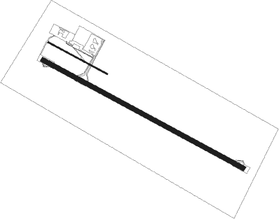
Monflorite/alcalá Del Obispo - Huesca/pirineos
Airport details
| Country | Spain |
| State | Aragon |
| Region | LE |
| Airspace | Madrid Ctr |
| Municipality | Alcalá del Obispo |
| Elevation | 1769ft (539m) |
| Timezone | GMT +1 |
| Coordinates | 42.08083, -0.32333 |
| Magnetic var | |
| Type | land |
| Available since | X-Plane v10.40 |
| ICAO code | LEHC |
| IATA code | HSK |
| FAA code | n/a |
Communication
| Huesca/Pirineos AFIS | 128.950 |
Nearby Points of Interest:
Palacio de los Gurrea
-Fuente de las Musas
-Huesca town hall
-Universidad Sertoriana de Huesca
-San Pedro (church, Torralba de Aragón)
-Iglesia de Santa Lucía
-Palomera cave (Rodellar)
-Arpán L
-Barfaluy I
-Mallata B1
-Casa Carruesco
-Palacio de Ayerbe
-Torre del Reloj, Ayerbe
-Tower of San Pedro, Ayerbe
-Church of Saint Stephen, Almazorre
-Casa Molinero
-Dolmen de Almazorre
-Ermita de la Virgen de la Bella
-Church of San Pedro
-Iglesia de la Asunción
-Iglesia de San Martín
-Casa Carlos
-town hall of Sena
-Casa Mora
-Torre de Fiscal
Nearby beacons
| code | identifier | dist | bearing | frequency |
|---|---|---|---|---|
| HUE | HUESCA VOR/DME | 0.4 | 149° | 114.55 |
| TON | TORRALBA DE ARAGON NDB | 12.5 | 231° | 335 |
| ZAR | ZARAGOZA VOR/DME | 40.5 | 239° | 113 |
| ZZA | ZARAGOZA TACAN | 40.8 | 241° | 133.70 |
| LLE | ILERDA VOR/DME | 43.4 | 112° | 113.60 |
| ZRZ | ZARAGOZA NDB | 44.2 | 248° | 389 |
| LRD | LERIDA NDB | 53.8 | 119° | 404 |
| MLA | MAELLA VOR/DME | 61.1 | 153° | 112.10 |
Disclaimer
The information on this website is not for real aviation. Use this data with the X-Plane flight simulator only! Data taken with kind consent from X-Plane 12 source code and data files. Content is subject to change without notice.

