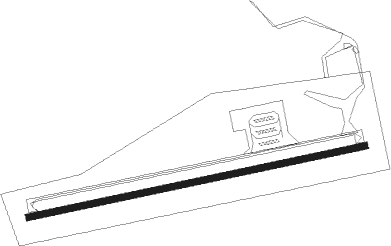
Cánovas - Campo De Vuelo Alhama De Murcia
Airport details
| Country | Spain |
| State | Region of Murcia |
| Region | LE |
| Airspace | Barcelona Ctr |
| Municipality | Alhama de Murcia |
| Elevation | 666ft (203m) |
| Timezone | GMT +1 |
| Coordinates | 37.75222, -1.30250 |
| Magnetic var | |
| Type | land |
| Available since | X-Plane v10.40 |
| ICAO code | LELH |
| IATA code | n/a |
| FAA code | n/a |
Communication
| Campo de Vuelo Alhama de Murcia Torre | 123.500 |
Nearby Points of Interest:
Santa Isabel watch tower
-Windmills in Cartagena, Spain
-Basílica del Llano del Olivar
-Contraparada
-Torre Llagostera
-Castillito de Los Dolores
-Paseo del Malecón
-Iglesia de Jesús
-Palacio Episcopal de Murcia
-Hospicio de Santa Florentina
-Casa Díaz Cassou
-Vélez chapel
-Casa de los Nueve Pisos
-Palacio de San Esteban
-Palacio Vinader
-Arco de Santo Domingo
-Villa Calamari
-Fábrica de Fluido Eléctrico Hispania
-Casino of Cartagena
-Antiguo Club de Regatas
-City Hall of Cartagena, Spain
-Escuelas Graduadas de Cartagena
-Cartagena
-Castle of Hisn Mola
-Lorca city hall
Nearby beacons
| code | identifier | dist | bearing | frequency |
|---|---|---|---|---|
| MUR | MURCIA VOR/DME | 9.1 | 75° | 114.85 |
| TRL | ALCANTARILLA (MURCIA) TACAN | 12.3 | 20° | 116.60 |
| VSJ | SAN JAVIER VORTAC | 23.3 | 87° | 113 |
| AI | ALICANTE NDB | 44.6 | 50° | 330 |
| ALT | ALTET VOR/DME | 46.4 | 55° | 113.80 |
| ATE | ALICANTE VOR/DME | 46.6 | 53° | 114.65 |
| AM | ALMERIA NDB | 69.1 | 227° | 284 |
| AMR | ALMERIA VOR/DME | 71.6 | 226° | 114.10 |
Disclaimer
The information on this website is not for real aviation. Use this data with the X-Plane flight simulator only! Data taken with kind consent from X-Plane 12 source code and data files. Content is subject to change without notice.
