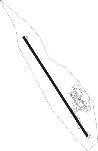
Pamplona
Airport details
| Country | Spain |
| State | Navarre |
| Region | LE |
| Airspace | Madrid Ctr |
| Municipality | Galar |
| Elevation | 1503ft (458m) |
| Timezone | GMT +1 |
| Coordinates | 42.77000, -1.64639 |
| Magnetic var | |
| Type | land |
| Available since | X-Plane v10.40 |
| ICAO code | LEPP |
| IATA code | PNA |
| FAA code | n/a |
Communication
| Pamplona Ground Control | 121.700 |
| Pamplona Tower | 118.200 |
| Pamplona Departure | 118.200 |
Approach frequencies
| ILS-cat-I | RW15 | 109.7 | 18.00mi |
| 3.4° GS | RW15 | 109.7 | 18.00mi |
Nearby Points of Interest:
Church of San Miguel, Noáin
-Iglesia de los Sanjuanistas
-Iglesia parroquial de Cizur Menor
-Navarra University Library
-Torres de Huarte
-Church of La Milagrosa (PP Paúles), Pamplona
-Gobierno Civil de Navarra
-Edificio Aurora
-Casa para D. Sebastián Goicoechea
-Edificio para la Sociedad "La Vasco Navarra"
-Torre de Erroz
-Edificio Viviendas, oficinas y cine "Avenida"
-Mancomunidad de aguas
-Parliament of Navarre
-Romanian Orthodox Church of San Miguel Arcángel, Barañain
-Basilica of San Ignacio de Loyola, Pamplona
-Navarra Palace
-Palacio de Navarra
-Casa Baleztena
-Escuelas de San Francisco
-Palacio Navarro Tafalla, Pamplona
-Edificio La Agrícola
-Palacio de Ezpeleta
-Palacio Goyeneche
-Cámara de Comptos de Navarra
Nearby beacons
| code | identifier | dist | bearing | frequency |
|---|---|---|---|---|
| PPN | PAMPLONA VOR/DME | 3.2 | 237° | 112.30 |
| PAM | PAMPLONA NDB | 3.3 | 173° | 422 |
| PAP | PAMPLONA SOUTH VOR/DME | 4.9 | 190° | 113.55 |
| PP | PAMPLONA NDB | 6.5 | 324° | 354 |
| SSN | SAN SEBASTIAN VOR/DME | 33.4 | 341° | 117.90 |
| EAG | LOGRONO NDB | 35.1 | 245° | 399 |
| TBR | BARDENAS REALES TACAN | 35.2 | 163° | 108.60 |
| LPA | LOGRONO VOR/DME | 35.3 | 246° | 115.45 |
| HIG | SAN SEBASTIAN NDB | 37.5 | 346° | 328 |
| BTZ | BIARRITZ PAYS BASQUE VOR/DME | 42.2 | 11° | 114.15 |
| BZ | BIARRITZ PAYS BASQUE NDB | 43.3 | 19° | 341 |
| DX | DAX SEYRESSE NDB | 61.9 | 34° | 334 |
Departure and arrival routes
| Transition altitude | 6000ft |
| SID end points | distance | outbound heading | |
|---|---|---|---|
| RW15 | |||
| GOMS1A, GOMS1B | 15mi | 33° | |
| NOLS1A, NOLS1B | 24mi | 217° | |
| KUDE1A, KUDE1B | 24mi | 266° | |
| MALO2A, MALO2B | 14mi | 284° | |
| PODU1B, PODU1A | 13mi | 299° | |
| RW33 | |||
| GOMS1C | 15mi | 33° | |
| NOLS1C, NOLS1D | 24mi | 217° | |
| KUDE1C, KUDE1D | 24mi | 266° | |
| MALO3C | 14mi | 284° | |
| BAGA1D, BAGA2C | 28mi | 306° | |
Disclaimer
The information on this website is not for real aviation. Use this data with the X-Plane flight simulator only! Data taken with kind consent from X-Plane 12 source code and data files. Content is subject to change without notice.
