Menorca Island - San Luis
Airport details
| Country | Spain |
| State | Balearic Islands |
| Region | LE |
| Airspace | Barcelona Ctr |
| Municipality | Maó |
| Elevation | 193ft (59m) |
| Timezone | GMT +1 |
| Coordinates | 39.86563, 4.25421 |
| Magnetic var | |
| Type | land |
| Available since | X-Plane v10.40 |
| ICAO code | LESL |
| IATA code | n/a |
| FAA code | n/a |
Communication
| San Luis Tower | 123.500 |
Nearby Points of Interest:
Portal de Sant Roc
-Archivo Histórico de Mahón
-Port of Maó-Mahón
-Camí de Cavalls
-Talaia de Binissermenya
-Torre de Binixiquet
-Sant Vicenç d’Alcaidús
-Es Catellàs des Caparrot de Forma
-Torre de So na Caçana
-Poblado talayótico de Torrellisar
-Claustre del Convent de Sant Diego
-Torre Vella
-Paleochristian basilica of Son Bou
-Early Christian Basilica of Port de Fornells
-Conjunt històric de Ciutadella
-Ajuntament de Ciutadella de Menorca
Runway info
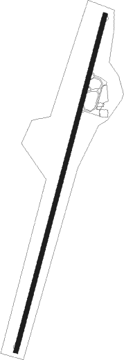
| Runway 02 / 20 | ||
| length | 1824m (5984ft) | |
| bearing | 25° / 205° | |
| width | 23m (75ft) | |
| surface | asphalt | |
| displ threshold | 52m (171ft) / 51m (167ft) | |
Nearby beacons
| code | identifier | dist | bearing | frequency |
|---|---|---|---|---|
| MHN | MENORCA VOR/DME | 1.7 | 267° | 112.60 |
| MN | MENORCA NDB | 2.5 | 235° | 344 |
| CDP | CAPDEPERA VOR/DME | 39.1 | 258° | 112.90 |
| PTC | PORTO COLOM NDB | 53.1 | 246° | 401 |
Disclaimer
The information on this website is not for real aviation. Use this data with the X-Plane flight simulator only! Data taken with kind consent from X-Plane 12 source code and data files. Content is subject to change without notice.