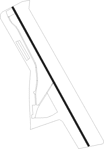
Airports for X-Plane offers a convenient way to explore airports and their related communication information for the X-Plane flight simulator. It only uses data from the X-Plane flight simulator itself, and is therefore more reliable than the data that comes from real aviation websites. You can search for airports by using the ICAO code, or browse for airports per country and state. The information displayed is categorized by airport details, runway information, airport communication, approach frequencies (ILS and Glidepath details), details of nearby beacons, SIDs, STARs and approach procedures.

transit arriving consulate military local government city rail ferry field taxi kennedy air terminal public transport seaplane air safety airline nearby airport terminal gravel taxiway

Sotos

Airport details

CountrySpain
StateCastile-La Mancha
RegionLE
AirspaceMadrid Ctr
MunicipalitySotorribas
Elevation3182ft (970m)
TimezoneGMT +1
Coordinates40.20417, -2.14389
Magnetic var
Typeland
Available sinceX-Plane v10.40
ICAO codeLESS
IATA coden/a
FAA coden/a

Communication

No airport communication available for LESS
Nearby Points of Interest:
Nuestra Señora de la Asunción Church, Valdecabras
-
Archivo Histórico Provincial de Cuenca
-
Antiguo Colegio de los Jesuitas, Cuenca
-
Church of San Pantaleón
-
Casa consistorial de Cuenca
-
Hospital Santiago Apóstol
-
Historic Walled Town of Cuenca
-
Monasterio de Madres Benedictinas, Cuenca
-
Alhóndiga de Cuenca
-
Church of Cristo del Amparo, Cuenca
-
Convent of the Concepción Franciscana, Cuenca
-
Las Hoyas
-
Abia de la Obispalía Castle
-
Gorges de Beteta
-
Church of San Lorenzo Mártir, Mota de Altarejos
-
Iglesia Panteón de los Marqueses de Moya
-
Church of Santos Justo y Pastor, Villar del Cobo
-
Recinto amurallado de Cañete
-
Church and Convent of Jesús and María, Huete
-
Colegio de los Jesuitas, Huete
-
Castillo de Huete
-
Peña del Escrito
-
San Pedro Apóstol Church, Cervera del Llano
-
Monasterio de Monsalud
-
Iglesia de la Asunción, Villaescusa de Palositos

Runway info

Runway 16 / 34
 length886m (2907ft)
 bearing149° / 329°
 width10m (33ft)
 surfaceasphalt
 displ threshold123m (404ft) / 125m (410ft)

Nearby beacons

codeidentifierdistbearingfrequency
CJNCASTEJON VOR/DME20.9293°115.60
CMACALAMOCHA VOR/DME55.452°116

Disclaimer

The information on this website is not for real aviation. Use this data with the X-Plane flight simulator only! Data taken with kind consent from X-Plane 12 source code and data files. Content is subject to change without notice.