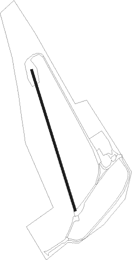
Sigüenza - Aeródromo De Sigüenza
Airport details
| Country | Spain |
| State | Castile-La Mancha |
| Region | |
| Airspace | Madrid Ctr |
| Municipality | Sigüenza |
| Elevation | 3443ft (1049m) |
| Timezone | GMT +1 |
| Coordinates | 41.04236, -2.62896 |
| Magnetic var | |
| Type | land |
| Available since | X-Plane v10.30 |
| ICAO code | LESZ |
| IATA code | n/a |
| FAA code | n/a |
Communication
Nearby Points of Interest:
Sigüenza
-Church of San Juan Bautista
-Parish church, Saúca
-Iglesia de Santa María, Bujarrabal
-Salt mine of Imón
-Church of Nuestra Señora de la Asunción
-Cueva de la Hoz
-Castle of Atienza
-Castle of Somaén
-Atalaya de los Casares
-Castillo de Rello
-Conjunto Histórico de Brihuega
-Church of San Simón, Brihuega
-Castle of Cogolludo
-Monasterio de Santa María la Real de Buenafuente
-Tetas de Viana
-Church of la Inmaculada Concepción
-Castle of Cobeta
-Castle of Arbeteta
-Iglesia Nuestra Señora de la Leche
-Castle in Torrehermosa
-Palacio de los Altamira
-Town hall of Tomellosa
-Iglesia de la Asunción, Villaescusa de Palositos
-Castle of Malasombra
Nearby beacons
| code | identifier | dist | bearing | frequency |
|---|---|---|---|---|
| BAN | BARAHONA VOR/DME | 16.8 | 360° | 112.80 |
| RBO | ROBLEDILLO VOR/DME | 30.2 | 253° | 113.95 |
| CJN | CASTEJON VOR/DME | 40.4 | 173° | 115.60 |
| SIE | SOMOSIERRA VOR/DME | 44.6 | 276° | 115.40 |
| TJZ | TORREJON (MADRID) TACAN | 49.4 | 236° | 112.50 |
| VTZ | TORREJON (MADRID) VOR/DME | 51.2 | 236° | 115.10 |
| SSY | S.S.REYES VOR/DME | 52.3 | 242° | 117.85 |
| BRA | BARAJAS VOR/DME | 54.4 | 238° | 116.45 |
| PDT | PERALES VOR/DME | 57.6 | 222° | 116.95 |
Disclaimer
The information on this website is not for real aviation. Use this data with the X-Plane flight simulator only! Data taken with kind consent from X-Plane 12 source code and data files. Content is subject to change without notice.