Valladolid - Matilla De Los Canos
Airport details
| Country | Spain |
| State | Castile and León |
| Region | LE |
| Airspace | Madrid Ctr |
| Municipality | Matilla de los Caños |
| Elevation | 2303ft (702m) |
| Timezone | GMT +1 |
| Coordinates | 41.53056, -4.92500 |
| Magnetic var | |
| Type | land |
| Available since | X-Plane v10.40 |
| ICAO code | LETC |
| IATA code | n/a |
| FAA code | n/a |
Communication
Nearby Points of Interest:
Church of San Miguel del Pino
-Tordesillas
-Archivo General de Simancas
-Castle of Foncastín
-Monastery of Nuestra Señora del Prado
-Valladolid locomotive depot
-Edificio de la Electra Popular Vallisoletana
-Real Monasterio de San Joaquín y Santa Ana
-Valladolid
-Casa Consistorial de Valladolid
-Convent of Santa Isabel de Hungría, Valladolid
-Pasaje Gutierrez
-Arenzana's Palace, Valladolid
-Palacio de los Condes de Benavente, Valladolid
-Palacio del Licenciado Butrón
-Colegio Mayor Santa Cruz
-Calle de Juan Mambrilla
-Colegio de San Gregorio
-Cárcel de la Chancillería de Valladolid
-Church of Nuestra Señora del Pilar, Valladolid
-Casa Blanca, Medina del Campo
-Reales Carnicerías, Medina del Campo
-Church of San Miguel Arcángel, Hornillos de Eresma
-Tower of Pozal de Gallinas
-Monastery of Santa María de la Mejorada
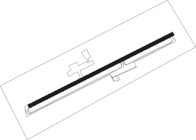
Runway info
| Runway 07 / 25 | ||
| length | 821m (2694ft) | |
| bearing | 73° / 253° | |
| width | 19m (62ft) | |
| surface | asphalt | |
| displ threshold | 0m (0ft) / 314m (1030ft) | |
| blast zone | 29m (95ft) / 0m (0ft) | |
Nearby beacons
| code | identifier | dist | bearing | frequency |
|---|---|---|---|---|
| NUB | VILLANUBLA (VALLADOLID) VOR/DME | 11 | 23° | 113.65 |
| ZMR | ZAMORA VOR/DME | 32.1 | 270° | 117.10 |
| AL | MATACAN (SALAMANCA) NDB | 38.1 | 226° | 359 |
| BBI | SALAMANCA VOR/DME | 39 | 226° | 112.20 |
| TSC | SALAMANCA TACAN | 43.2 | 225° | 113.30 |
| NEA | TABANERA VOR/DME | 47.1 | 59° | 116.75 |
Disclaimer
The information on this website is not for real aviation. Use this data with the X-Plane flight simulator only! Data taken with kind consent from X-Plane 12 source code and data files. Content is subject to change without notice.