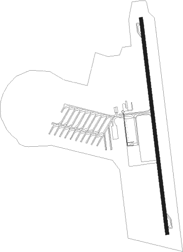
Teruel - Teruel Plata
Airport details
| Country | Spain |
| State | Aragon |
| Region | LE |
| Airspace | Madrid Ctr |
| Municipality | Teruel |
| Elevation | 3367ft (1026m) |
| Timezone | GMT +1 |
| Coordinates | 40.41195, -1.21750 |
| Magnetic var | |
| Type | land |
| Available since | X-Plane v10.40 |
| ICAO code | LETL |
| IATA code | TEV |
| FAA code | n/a |
Communication
| Teruel Plata ATIS | 131.050 |
| Teruel Plata CTAF | 122.675 |
| Teruel Plata Control room Supervisor | 133.850 |
Nearby Points of Interest:
Castle-palace of Celadas
-Archivo Histórico Provincial de Teruel
-Casa La Madrileña
-Casa Ferrán
-Casa de Tejidos El Torico
-Bank of Spain building in Teruel
-Casa Bayo
-Residencia de Santa Emerenciana
-Torre de Villastar
-Aquaduct of Albarracín-Gea-Cella
-Ermita de Santa Ana (Alfambra)
-Torre Blanca
-Albarracín city walls
-Portal del Agua
-Abrigo de la Ceja de Piezarrodilla
-Abrigo de la Cerrada del Tío Jorge
-Abrigo de las Cabras Blancas
-Abrigo de la Paridera de Tormón
-Castillo de Tramacastiel
-El Castillejo
-Castle of Camañas
-Castillo de Valacloche
-Casa consistorial de Terriente
-Hermitage of Santa Quiteria
-Castillo de El Cuervo
Nearby beacons
| code | identifier | dist | bearing | frequency |
|---|---|---|---|---|
| CMA | CALAMOCHA VOR/DME | 27.5 | 350° | 116 |
| CLS | CALLES (VALENCIA) VOR/DME | 43.6 | 162° | 117.55 |
| EBT | BETERA NDB | 58.3 | 137° | 362 |
| VLC | VALENCIA VOR/DME | 65.1 | 142° | 116.10 |
| PND | PINEDO (VALENCIA) NDB | 70.9 | 138° | 340 |
Disclaimer
The information on this website is not for real aviation. Use this data with the X-Plane flight simulator only! Data taken with kind consent from X-Plane 12 source code and data files. Content is subject to change without notice.
