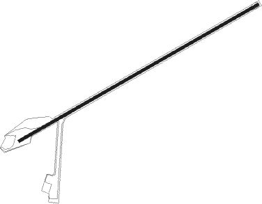
Soucelles
Airport details
| Country | France |
| State | Pays de la Loire |
| Region | LF |
| Airspace | Brest Ctr |
| Municipality | Rives-du-Loir-en-Anjou |
| Elevation | 168ft (51m) |
| Timezone | GMT +1 |
| Coordinates | 47.57845, -0.41804 |
| Magnetic var | |
| Type | land |
| Available since | X-Plane v10.40 |
| ICAO code | LF4925 |
| IATA code | n/a |
| FAA code | n/a |
Communication
Nearby Points of Interest:
Salle seigneuriale de Briollay
-pierre au Loup
-Château de la Rousselière
-Château du Bois
-Résidence Kalouguine
-Tour de Cornillé
-Maison de maître de la Charpenterie
-Prieuré Saint-Martin de Daumeray
-maison d'arrêt d'Angers
-Abbaye Saint-Serge
-Hôtel de Charnières
-Cour d'appel d'Angers
-Compagnie française d'aviation
-Hôtel Bitault de la Raimberdière
-Hôtel Crespy
-Hôtel Mame, Angers
-Hôtel de Maquillé
-Hôtel Joubert-Bonnaire
-Église du couvent des bénédictines du Calvaire d'Angers
-appart hotel avril de la roche
-Abbaye Toussaint d'Angers
-Galeries Lafayette
-Hôtel Tessier de La Motte
-Church of the Holy Sepulchre, Angers
-Couvent des Augustins
Nearby beacons
| code | identifier | dist | bearing | frequency |
|---|---|---|---|---|
| AS | ANGERS NDB | 10.8 | 90° | 392 |
| ANG | ANGERS VOR | 17.7 | 265° | 113 |
| LA | LAVAL NDB | 26 | 327° | 401 |
| LM | LE MANS NDB | 30.4 | 62° | 326 |
| LP | CHOLET NDB | 31.6 | 224° | 357 |
| TUR | TOURS VAL DE LOIRE TACAN | 47.5 | 98° | 113.80 |
| TUR | TOURS VAL DE LOIRE NDB | 48.6 | 91° | 331 |
| AMB | AMBOISE NDB | 59.9 | 96° | 341 |
| AMB | AMBOISE VOR/DME | 60.8 | 96° | 113.70 |
| PI | POITIERS NDB | 62.4 | 137° | 363 |
| YN | LA ROCHE SUR YON LES AJONCS NDB | 64.1 | 224° | 334 |
| BLB | BLOIS NDB | 65.8 | 87° | 397 |
| POI | POITIERS BIARDS VOR | 66.6 | 144° | 113.30 |
Disclaimer
The information on this website is not for real aviation. Use this data with the X-Plane flight simulator only! Data taken with kind consent from X-Plane 12 source code and data files. Content is subject to change without notice.
