Grandpuits-bailly-carrois - Nangis Les Loges
Airport details
| Country | France |
| State | Ile-de-France |
| Region | LF |
| Airspace | Paris Ctr |
| Municipality | Clos-Fontaine |
| Elevation | 428ft (130m) |
| Timezone | GMT +1 |
| Coordinates | 48.59694, 3.00806 |
| Magnetic var | |
| Type | land |
| Available since | X-Plane v10.40 |
| ICAO code | LFAI |
| IATA code | n/a |
| FAA code | n/a |
Communication
| Nangis Les Loges CTAF | 127.975 |
| Nangis Les Loges Twr | 127.975 |
| Nangis Les Loges Dep | 127.975 |
Nearby Points of Interest:
Moulin Choix
-borne fleurdelysée n°34
-borne fleurdelysée n°35
-Fief des Époisses
-Château Royal du Vivier
-Moulin de Mistou
-Colombier de Mauperthuis
-Chapelle Sainte-Aubierge
-Ferme de la Madeleine (Provins)
-Caveau du Saint-Esprit
-Refuge de Preuilly
-Maison des Trois Pignons
-Maison des Petits Plaids
-Château de la Reine Blanche
-hôtel of la Coquille
-Église Saint-Thibault de Provins
-Hôtel des Trois-Singes
-Maison de Saint-Thibault
-Tribunal ecclésiastique de Provins
-Maison canoniale
-Hôtel des Brébans
-Palais des comtes de Champagne
-Chapelle comtale de Provins
-Demeure des Vieux Bains
-Menhir de Saint-Brice
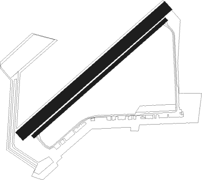
Runway info
Runway 05 / 23  | ||
| length | 956m (3136ft) | |
| bearing | 64° / 244° | |
| width | 20m (66ft) | |
| surface | asphalt | |
| Runway 05L / 23R | ||
| length | 1026m (3366ft) | |
| bearing | 64° / 244° | |
| width | 60m (197ft) | |
| surface | grass | |
| displ threshold | 0m (0ft) / 75m (246ft) | |
Nearby beacons
| code | identifier | dist | bearing | frequency |
|---|---|---|---|---|
| MV | MELUN NDB | 2.8 | 215° | 434 |
| MLN | MELUN VILLAROCHE VOR/DME | 11.4 | 234° | 113.60 |
| CLM | COULOMMIERS VOR/DME | 14.8 | 1° | 112.90 |
| BRY | BRAY SUR SEINE VOR/DME | 16.1 | 124° | 114.10 |
| POY | ORLY (PARIS) NDB | 25.7 | 282° | 334 |
| PGS | CHARLES-DE-GAULLE (PARIS) VOR/DME | 28.5 | 316° | 117.05 |
| BT | LE BOURGET (PARIS) VOR/DME | 31.5 | 304° | 116.10 |
| CGN | (PARIS) DME | 32.3 | 310° | 115.35 |
| BSN | DME | 35.5 | 5° | 114.85 |
| TSU | TOUSSUS LE NOBLE VOR | 37.1 | 280° | 108.25 |
| TA | VILLACOUBLAY NDB | 37.5 | 281° | 286 |
| CTL | CHATILLON SUR MARNE VOR/DME | 39.5 | 46° | 117.60 |
| PTV | PITHIVIERS VOR | 39.7 | 239° | 116.50 |
| TY | TROYES NDB | 41.3 | 101° | 320 |
| TRO | TROYES BARBEREY VOR | 43.3 | 110° | 116 |
| AX | AUXERRE NDB | 45.1 | 144° | 417 |
| PON | PONTOISE CORMEILLES EN VE VOR | 48.7 | 297° | 111.60 |
| ORS | ORLEANS SAINT DENIS DE L'HOTEL NDB | 50 | 229° | 322 |
| BOV | BEAUVAIS TILLE VOR/DME | 60.6 | 314° | 109.65 |
| MTD | MONTDIDIER VOR | 60.9 | 332° | 113.65 |
| BV | BEAUVAIS NDB | 66.1 | 312° | 391 |
Disclaimer
The information on this website is not for real aviation. Use this data with the X-Plane flight simulator only! Data taken with kind consent from X-Plane 12 source code and data files. Content is subject to change without notice.