Cazaux (la Teste-de-buch) - Cazaux
Airport details
| Country | France |
| State | Nouvelle-Aquitaine |
| Region | LF |
| Airspace | Bordeaux Ctr |
| Municipality | La Teste-de-Buch |
| Elevation | 83ft (25m) |
| Timezone | GMT +1 |
| Coordinates | 44.52435, -1.13177 |
| Magnetic var | |
| Type | land |
| Available since | X-Plane v10.40 |
| ICAO code | LFBC |
| IATA code | n/a |
| FAA code | n/a |
Communication
| Cazaux Ground | 122.100 |
| Cazaux Tower | 118.400 |
| Cazaux Approach | 119.600 |
Approach frequencies
| ILS-cat-I | RW24 | 110.1 | 18.00mi |
| 3° GS | RW24 | 110.1 | 18.00mi |
Nearby Points of Interest:
Monument aux morts d'Arcachon
-Villa Thérésa (Arcachon)
-Domaine de Certes
-Église Saint-Martin de Pontenx-les-Forges
-poterie de Gradignan
-Vierge à l'Enfant
-Moulin de Caupian
-Atelier des Chemins de fer économiques de la Gironde
-Maison carrée d'Arlac
-Château Peixotto
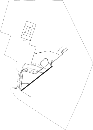
Runway info
| Runway 06 / 24 | ||
| length | 2395m (7858ft) | |
| bearing | 65° / 245° | |
| width | 45m (148ft) | |
| surface | asphalt | |
| blast zone | 255m (837ft) / 255m (837ft) | |
Nearby beacons
| code | identifier | dist | bearing | frequency |
|---|---|---|---|---|
| CAA | CAZAUX TACAN | 0.4 | 328° | 110.80 |
| CAA | CAZAUX NDB | 1.6 | 24° | 382 |
| BRS | BISCARROSSE NDB | 9.5 | 179° | 358 |
| BMC | BORDEAUX MERIGNAC VOR/DME | 25.2 | 54° | 113.75 |
| BD | BORDEAUX NDB | 34.6 | 54° | 393 |
| BE | BORDEAUX NDB | 37.6 | 65° | 318 |
| SAU | SAUVETERRE DE GUYENNE VOR | 42.8 | 81° | 116.80 |
| NB | BORDEAUX NDB | 44.8 | 43° | 361 |
| MDM | MARSAN (MONT-DE-MARSAN) TACAN | 45.7 | 134° | 108.70 |
| LGH | MARSAN (MONT-DE-MARSAN) VOR/DME | 45.9 | 134° | 111.65 |
| DX | DAX SEYRESSE NDB | 49.8 | 173° | 334 |
Instrument approach procedures
| runway | airway (heading) | route (dist, bearing) |
|---|---|---|
| RW06-Z | CAA (148°) | CAA 2600ft BC407 (7mi, 280°) BC408 (6mi, 245°) 2600ft IC06Z (5mi, 137°) 1800ft |
| RNAV | IC06Z 1800ft FC06Z (5mi, 65°) 1800ft LFBC (5mi, 68°) 123ft BC411 (8mi, 63°) 2600ft CAA (8mi, 245°) 2600ft | |
| RW24-Z | BC403 (218°) | BC403 2600ft IC24Z (5mi, 137°) 1800ft FC24Z (4mi, 245°) 1800ft |
| RW24-Z | CAA (148°) | CAA 2600ft BC402 (7mi, 11°) BC403 (6mi, 65°) 2600ft IC24Z (5mi, 137°) 1800ft FC24Z (4mi, 245°) 1800ft |
| RW24-Z | IC24Z (243°) | IC24Z 1800ft FC24Z (4mi, 245°) 1800ft |
| RNAV | FC24Z 1800ft LFBC (6mi, 242°) 132ft BC406 (8mi, 247°) 2600ft CAA (8mi, 64°) 2600ft |
Disclaimer
The information on this website is not for real aviation. Use this data with the X-Plane flight simulator only! Data taken with kind consent from X-Plane 12 source code and data files. Content is subject to change without notice.