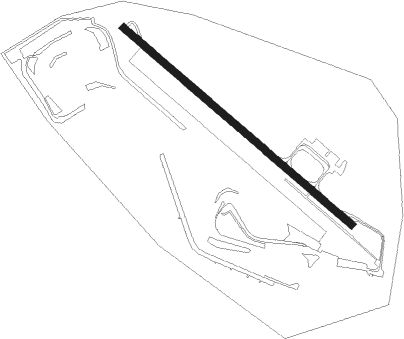
Nogaro
Airport details
| Country | France |
| State | Occitania |
| Region | LF |
| Airspace | Bordeaux Ctr |
| Municipality | Nogaro |
| Elevation | 304ft (93m) |
| Timezone | GMT +1 |
| Coordinates | 43.76655, -0.03551 |
| Magnetic var | |
| Type | land |
| Available since | X-Plane v10.40 |
| ICAO code | LFCN |
| IATA code | n/a |
| FAA code | n/a |
Communication
| Nogaro ATC CTAF | 119.500 |
| Nogaro ATC Approach | 119.700 |
Nearby Points of Interest:
Town hall of Aire-sur-l'Adour
-Halle aux grains d'Aire-sur-l'Adour
-Tour de Maubourguet
-Ancienne chapelle romane
-Ancienne prison de Mont-de-Marsan
-Gendarmerie de Mont-de-Marsan
-Rotonde de la Vignotte
-Eglise Saint-Jacques-le-Majeur de Tillac
-Rohan Tower, Mirande
-Abbaye de Berdoues
-Tour du Cardinal d'Aux
-château de Tostat
-Chapelle Saint-Clamens de Belloc-Saint-Clamens
-Ruines romaines de Nérac
-parc de la Garenne
-Hôtel de ville d'Auch
-Théâtre d'Auch
-Allées d'Étigny
-Couvent des Cordeliers d'Auch
-Couvent des Carmélites d'Auch
-Maison d'Henri IV
-Intendance d'Auch
-enceinte d'Auch
-hôtel de préfecture du Gers
-Prieuré de Saint-Orens d'Auch
Nearby beacons
| code | identifier | dist | bearing | frequency |
|---|---|---|---|---|
| LMB | LEMBEYE VOR | 18 | 177° | 111.80 |
| LGH | MARSAN (MONT-DE-MARSAN) VOR/DME | 21.7 | 287° | 111.65 |
| MDM | MARSAN (MONT-DE-MARSAN) TACAN | 22 | 287° | 108.70 |
| TBO | TARBES VOR/DME | 27.2 | 157° | 113.90 |
| PO | PAU/PYRENEES NDB | 27.7 | 196° | 397 |
| LMT | AUCH NDB | 27.8 | 94° | 420 |
| TL | TARBES NDB | 28.9 | 170° | 321 |
| PU | PAU/PYRENEES NDB | 29.2 | 211° | 364 |
| AG | AGEN NDB | 38.3 | 62° | 400 |
| AGN | AGEN VOR/DME | 40 | 82° | 114.80 |
| DX | DAX SEYRESSE NDB | 43.2 | 266° | 334 |
| TW | TOULOUSE NDB | 48.2 | 103° | 406 |
| SAU | SAUVETERRE DE GUYENNE VOR | 54.9 | 353° | 116.80 |
Disclaimer
The information on this website is not for real aviation. Use this data with the X-Plane flight simulator only! Data taken with kind consent from X-Plane 12 source code and data files. Content is subject to change without notice.