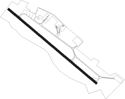
Montauban
Airport details
| Country | France |
| State | Occitania |
| Region | LF |
| Airspace | Bordeaux Ctr |
| Municipality | Montauban |
| Elevation | 351ft (107m) |
| Timezone | GMT +1 |
| Coordinates | 44.02734, 1.37847 |
| Magnetic var | |
| Type | land |
| Available since | X-Plane v10.40 |
| ICAO code | LFDB |
| IATA code | XMW |
| FAA code | n/a |
Communication
| Montauban INFO | 120.600 |
| Montauban TOULOUSE Approach | 125.175 |
Nearby Points of Interest:
palais épiscopal de Montauban
-Pont Neuf
-Tour d'Arles
-maison de la Taverne
-Château de Montricoux
-Moulin à eau de la Théoule
-Bruniquel rock shelters
-Pont-canal du Cacor
-Gare de Borredon
-Forges de Caussanus
-Bruniquel Cave
-Porte de ville
-Chapelle Saint-Jean-Baptiste d'Aucamville
-Château de Villefranche
-Moulin à vent de Boisse
-Ancien hôtel de ville de Saint-Antonin-Noble-Val
-Croix du marché de Saint-Antonin-Noble-Val
-hôtel de Fermat
-dolmen de Saint-Paul
-Maison, Place Publique, Castelnau-de-Montmiral
-Castella de Saint-Sulpice
-Château de Meyragues
-Maison des Loups, Caylus
-Halle de Caylus
-Halle de Lacapelle-Livron
Nearby beacons
| code | identifier | dist | bearing | frequency |
|---|---|---|---|---|
| TLB | TOULOUSE NDB | 5.5 | 142° | 368 |
| GAI | GAILLAC VOR | 19.7 | 99° | 115.80 |
| TOU | TOULOUSE BLAGNAC VOR/DME | 21 | 191° | 117.70 |
| CL | CAHORS NDB | 21.5 | 6° | 348 |
| AGN | AGEN VOR/DME | 23.4 | 255° | 114.80 |
| TLF | FRANCAZAL NDB | 26.8 | 201° | 332 |
| AB | ALBI NDB | 30.4 | 99° | 323 |
| AG | AGEN NDB | 31.2 | 280° | 400 |
| TS | TOULOUSE NDB | 31.5 | 168° | 423 |
| TW | TOULOUSE NDB | 33.5 | 215° | 406 |
| MUT | MURET NDB | 33.9 | 200° | 350 |
| TOE | TOULOUSE NDB | 35.3 | 151° | 415 |
| LMT | AUCH NDB | 38.3 | 248° | 420 |
| FC | FIGEAC LIVERNON NDB | 42.4 | 32° | 395 |
| CVU | CASTRES-MAZAMET NDB | 43.1 | 115° | 356 |
| PMR | PAMIERS NDB | 56.9 | 167° | 384 |
| BGC | BERGERAC NDB | 57.6 | 316° | 374 |
| BSC | SOUILLAC (BRIVE) NDB | 59 | 14° | 351 |
| CS | CARCASSONNE SALVAZA NDB | 60.2 | 134° | 345 |
| AR | AURILLAC NDB | 70 | 47° | 343 |
Disclaimer
The information on this website is not for real aviation. Use this data with the X-Plane flight simulator only! Data taken with kind consent from X-Plane 12 source code and data files. Content is subject to change without notice.