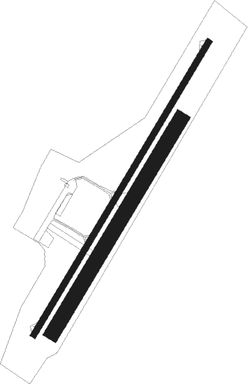
Les Artigues-de-lussac - Libourne
Airport details
| Country | France |
| State | Nouvelle-Aquitaine |
| Region | LF |
| Airspace | Bordeaux Ctr |
| Municipality | Les Artigues-de-Lussac |
| Elevation | 157ft (48m) |
| Timezone | GMT +1 |
| Coordinates | 44.98500, -0.13611 |
| Magnetic var | |
| Type | land |
| Available since | X-Plane v10.40 |
| ICAO code | LFDI |
| IATA code | n/a |
| FAA code | n/a |
Communication
| Libourne CTAF | 120.650 |
| Libourne Twr | 120.650 |
| Libourne Dep | 120.650 |
Nearby Points of Interest:
Abbaye Notre-Dame de la Faise
-Manufacture d'Abzac
-Château de La Tour Ségur
-château de Sales
-Château Soutard
-Château Canon
-Église Saint-Martin de Mazerat
-Château Ausone
-Vierge à l'Enfant
-Moulin du Barrage
-Chateau de Pitray
-Croix de cimetière de Saint-Pey-d'Armens
-Madonna mit Kind
-Croix de cimetière de Saint-Sulpice-et-Cameyrac
-Moulin neuf d'Espiet
-jardins de Sardy
-Croix de cimetière de Faleyras
-chartreuse de Vauclaire
-Croix de cimetière de Mauriac
-pompignac église Saint-Martin
-église Saint-Martin de Bonnetan
-Taufbecken
-église Saint-Étienne de Loupes (Gironde)
-Vierge debout portant l'enfant

Nearby beacons
| code | identifier | dist | bearing | frequency |
|---|---|---|---|---|
| BE | BORDEAUX NDB | 13 | 246° | 318 |
| BD | BORDEAUX NDB | 18.3 | 263° | 393 |
| SAU | SAUVETERRE DE GUYENNE VOR | 18.5 | 183° | 116.80 |
| NB | BORDEAUX NDB | 20 | 291° | 361 |
| BMC | BORDEAUX MERIGNAC VOR/DME | 26.6 | 255° | 113.75 |
| BGC | BERGERAC NDB | 33.6 | 102° | 374 |
| CNA | COGNAC CHATEAUBERNARD VOR/DME | 41.1 | 345° | 114.65 |
| CGC | COGNAC CHATEAUBERNARD TACAN | 41.2 | 346° | 116.20 |
| OC | COGNAC NDB | 45.3 | 358° | 346 |
| PX | PERIGUEUX NDB | 45.7 | 80° | 389 |
| RY | ROYAN NDB | 48.8 | 311° | 427 |
| CAA | CAZAUX NDB | 49.3 | 246° | 382 |
| AGO | ANGOULEME NDB | 49.6 | 38° | 404 |
| CAA | CAZAUX TACAN | 50.6 | 246° | 110.80 |
| BRS | BISCARROSSE NDB | 56.4 | 238° | 358 |
| AG | AGEN NDB | 60.9 | 136° | 400 |
| ROC | ROCHEFORT NDB | 65 | 317° | 396 |
| LMG | LIMOGES VOR/DME | 69.9 | 54° | 114.50 |
| LSU | LIMOGES NDB | 70.9 | 57° | 320 |
Disclaimer
The information on this website is not for real aviation. Use this data with the X-Plane flight simulator only! Data taken with kind consent from X-Plane 12 source code and data files. Content is subject to change without notice.