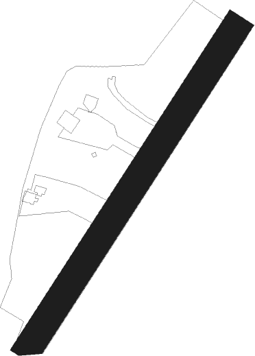
Rochefort - Castelnau Magnoac
Airport details
| Country | France |
| State | Occitania |
| Region | LF |
| Airspace | Bordeaux Ctr |
| Municipality | Castelnau-Magnoac |
| Elevation | 981ft (299m) |
| Timezone | GMT +1 |
| Coordinates | 43.27750, 0.51944 |
| Magnetic var | |
| Type | land |
| Available since | X-Plane v10.40 |
| ICAO code | LFDQ |
| IATA code | n/a |
| FAA code | n/a |
Communication
Nearby Points of Interest:
Halle-mairie de Boulogne-sur-Gesse
-Chapelle Saint-Jean-des-Vignes de Saint-Plancard
-grottes de la Save
-Église des Carmes de Trie-sur-Baïse
-Tuco de Panassac
-Chapelle Saint-Clamens de Belloc-Saint-Clamens
-Pont de Gourdan
-Grotte de Gourdan
-Abbaye de Berdoues
-Château de Seissan
-Château de Latoue
-Cloister of Saint-Pierre et Saint-Gaudens
-Pigeonnier de la Bernisse
-Rohan Tower, Mirande
-Eglise Saint-Jacques-le-Majeur de Tillac
-Fontaine d'Orbessan
-Chapel of Saint-Sernin, Pointis-Inard
-Église Saint-Martin d'Orignac
-château de Tostat
-Eglise de Saint-Pé-d'Ardet
-Gare de Sarrancolin
-église Notre-Dame-de-l'Assomption d'Ilhet
-Prefecture hotel of Hautes-Pyrénées
-Haras national de Tarbes
-Aspet Fontaine
Nearby beacons
| code | identifier | dist | bearing | frequency |
|---|---|---|---|---|
| TBO | TARBES VOR/DME | 16.6 | 278° | 113.90 |
| TL | TARBES NDB | 20.5 | 271° | 321 |
| LMB | LEMBEYE VOR | 26 | 289° | 111.80 |
| LMT | AUCH NDB | 26.6 | 11° | 420 |
| TW | TOULOUSE NDB | 26.7 | 63° | 406 |
| PO | PAU/PYRENEES NDB | 30 | 273° | 397 |
| MUT | MURET NDB | 31.3 | 73° | 350 |
| TLF | FRANCAZAL NDB | 35.7 | 65° | 332 |
| PU | PAU/PYRENEES NDB | 36.1 | 273° | 364 |
| AGN | AGEN VOR/DME | 39.7 | 30° | 114.80 |
| TOU | TOULOUSE BLAGNAC VOR/DME | 42.1 | 63° | 117.70 |
| TS | TOULOUSE NDB | 44.4 | 77° | 423 |
| AG | AGEN NDB | 52.8 | 10° | 400 |
| TLB | TOULOUSE NDB | 56.7 | 54° | 368 |
| LGH | MARSAN (MONT-DE-MARSAN) VOR/DME | 58.2 | 302° | 111.65 |
| MDM | MARSAN (MONT-DE-MARSAN) TACAN | 58.5 | 302° | 108.70 |
| DX | DAX SEYRESSE NDB | 71.9 | 285° | 334 |
Disclaimer
The information on this website is not for real aviation. Use this data with the X-Plane flight simulator only! Data taken with kind consent from X-Plane 12 source code and data files. Content is subject to change without notice.
