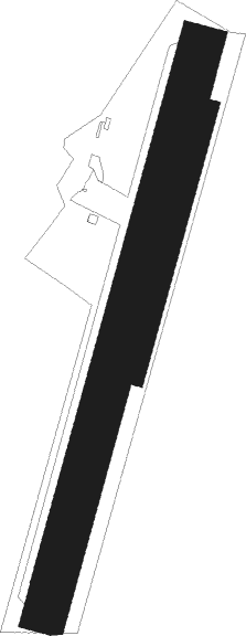
Brux - Couhe Verac
Airport details
| Country | France |
| State | Nouvelle-Aquitaine |
| Region | LF |
| Airspace | Bordeaux Ctr |
| Municipality | Brux |
| Elevation | 499ft (152m) |
| Timezone | GMT +1 |
| Coordinates | 46.27056, 0.18833 |
| Magnetic var | |
| Type | land |
| Available since | X-Plane v10.40 |
| ICAO code | LFDV |
| IATA code | n/a |
| FAA code | n/a |
Communication
| Couhe Verac CTAF | 119.225 |
Nearby Points of Interest:
pierre Pèse de Limalonges
-Château de Léray
-Lanterne des morts de Château-Larcher
-Château de Lusignan
-Halles de Charroux
-Dolmen de Laverré
-Temple protestant de Beaussais
-Gallo-Roman amphitheatre of Sanxay
-Croix hosannière de Ménigoute
-Abbaye Notre-Dame de Nanteuil
-Abbaye Saint-Benoît de Quinçay
-Abbaye du Pin
-Église Saint-Léger de Saint-Maixent-l'École
-Château de Champagne
-City walls of Poitiers
-Hôtel Gilbert
-Prieuré de Saint-Médard (Deux-Sèvres)
-Monastère Saint-Hilaire de la Celle
-Chapelle Saint-Louis de Poitiers
-Prefecture hotel of Vienne
-Hôtel Jean Beaucé
-Poitiers City Hall
-Échevinage, 7 rue Paul-Guillon
-Église Saint-Jean Baptiste de Lhommaizé
-Palace of Poitiers
Nearby beacons
| code | identifier | dist | bearing | frequency |
|---|---|---|---|---|
| POI | POITIERS BIARDS VOR | 19.1 | 19° | 113.30 |
| PI | POITIERS NDB | 27.5 | 27° | 363 |
| AGO | ANGOULEME NDB | 35 | 157° | 404 |
| OC | COGNAC NDB | 35 | 213° | 346 |
| CGC | COGNAC CHATEAUBERNARD TACAN | 42 | 219° | 116.20 |
| CNA | COGNAC CHATEAUBERNARD VOR/DME | 42.2 | 219° | 114.65 |
| LMG | LIMOGES VOR/DME | 44.3 | 119° | 114.50 |
| LSU | LIMOGES NDB | 48.1 | 118° | 320 |
| RL | LA ROCHELLE NDB | 53.7 | 266° | 322 |
| ROC | ROCHEFORT NDB | 54 | 252° | 396 |
| RY | ROYAN NDB | 59 | 238° | 427 |
| LP | CHOLET NDB | 66.9 | 310° | 357 |
Disclaimer
The information on this website is not for real aviation. Use this data with the X-Plane flight simulator only! Data taken with kind consent from X-Plane 12 source code and data files. Content is subject to change without notice.

