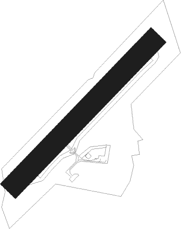
Chauvigny
Airport details
| Country | France |
| State | Nouvelle-Aquitaine |
| Region | LF |
| Airspace | Bordeaux Ctr |
| Municipality | Chauvigny |
| Elevation | 437ft (133m) |
| Timezone | GMT +1 |
| Coordinates | 46.58333, 0.64222 |
| Magnetic var | |
| Type | land |
| Available since | X-Plane v10.40 |
| ICAO code | LFDW |
| IATA code | n/a |
| FAA code | n/a |
Communication
| Chauvigny CTAF | 123.500 |
Nearby Points of Interest:
Église Saint-Hilaire de Bignoux
-Église Saint-Jean Baptiste de Lhommaizé
-Château de la Guittière
-Lanterne des morts d'Antigny
-Pont de Saint-Savin
-Hôtel de Dreux-Brézé
-Borne milliaire, Cenon-sur-Vienne
-Prieuré hospitalier de Poitiers
-Monastère Saint-Hilaire de la Celle
-Hôtel Claveurier
-Hôtel Couturer
-Palace of Poitiers
-hôtel Fumé
-Hôtel Jean Beaucé
-Chapelle Saint-Louis de Poitiers
-Échevinage, 7 rue Paul-Guillon
-Poitiers City Hall
-Abbaye Saint-Benoît de Quinçay
-Hôtel Gilbert
-Prefecture hotel of Vienne
-Château-Couvert
-City walls of Poitiers
-Hôtel de Moussac
-Manufacture d'armes de Châtellerault
-Pont Henri-IV, Châtellerault
Nearby beacons
| code | identifier | dist | bearing | frequency |
|---|---|---|---|---|
| PI | POITIERS NDB | 12.1 | 297° | 363 |
| POI | POITIERS BIARDS VOR | 14.2 | 270° | 113.30 |
| LOE | LIMOGES NDB | 44 | 128° | 424 |
| LMG | LIMOGES VOR/DME | 48.7 | 153° | 114.50 |
| TUR | TOURS VAL DE LOIRE TACAN | 50.5 | 6° | 113.80 |
| LSU | LIMOGES NDB | 51.7 | 150° | 320 |
| AMB | AMBOISE NDB | 52.7 | 26° | 341 |
| AGO | ANGOULEME NDB | 53.1 | 194° | 404 |
| AMB | AMBOISE VOR/DME | 53.6 | 27° | 113.70 |
| TUR | TOURS VAL DE LOIRE NDB | 59.2 | 8° | 331 |
| OC | COGNAC NDB | 60.6 | 224° | 346 |
| AS | ANGERS NDB | 67.9 | 321° | 392 |
| CGC | COGNAC CHATEAUBERNARD TACAN | 68 | 226° | 116.20 |
| CNA | COGNAC CHATEAUBERNARD VOR/DME | 68.2 | 226° | 114.65 |
| LP | CHOLET NDB | 69.2 | 290° | 357 |
Disclaimer
The information on this website is not for real aviation. Use this data with the X-Plane flight simulator only! Data taken with kind consent from X-Plane 12 source code and data files. Content is subject to change without notice.