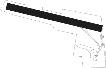
Yvrac - Bordeaux Yvrac
Airport details
| Country | France |
| State | Nouvelle-Aquitaine |
| Region | LF |
| Airspace | Bordeaux Ctr |
| Municipality | Yvrac |
| Elevation | 240ft (73m) |
| Timezone | GMT +1 |
| Coordinates | 44.87639, -0.48167 |
| Magnetic var | |
| Type | land |
| Available since | X-Plane v10.40 |
| ICAO code | LFDY |
| IATA code | n/a |
| FAA code | n/a |
Communication
| Bordeaux Yvrac CTAF | 119.950 |
Nearby Points of Interest:
Château des Lauriers
-Vierge debout portant l'enfant
-Château de Lormont
-pompignac église Saint-Martin
-Taufbecken
-Magasin aux vivres de Bordeaux
-Bordeaux Observatory
-église Saint-Martin de Carignan-de-Bordeaux
-Caserne des pompiers de la Benauge
-Caisse d'épargne de Bordeaux
-Maison hollandaise, 28 quai des Chartrons
-Hôtel de la Bourse
-Hôtel Boyer-Fonfrède
-Hôtel des Douanes
-Hôtel Piganeau
-Hôtel Journu
-Hôtel Baour
-Croix de cimetière de Saint-Sulpice-et-Cameyrac
-Monument aux Girondins
-Hôtel Bonnaffé
-église Saint-Martin de Bonnetan
-Hôtel Raba
-Hôtel du 55 cours Georges Clemenceau (Bordeaux)
-église Saint-Projet de Bordeaux
-Mairerie
Nearby beacons
| code | identifier | dist | bearing | frequency |
|---|---|---|---|---|
| BE | BORDEAUX NDB | 3.5 | 94° | 318 |
| BD | BORDEAUX NDB | 4.9 | 306° | 393 |
| BMC | BORDEAUX MERIGNAC VOR/DME | 10.6 | 258° | 113.75 |
| NB | BORDEAUX NDB | 16.5 | 346° | 361 |
| SAU | SAUVETERRE DE GUYENNE VOR | 18.4 | 121° | 116.80 |
| CAA | CAZAUX NDB | 33.5 | 243° | 382 |
| CAA | CAZAUX TACAN | 34.7 | 242° | 110.80 |
| BRS | BISCARROSSE NDB | 41.3 | 232° | 358 |
| BGC | BERGERAC NDB | 47 | 93° | 374 |
| RY | ROYAN NDB | 47.3 | 332° | 427 |
| CNA | COGNAC CHATEAUBERNARD VOR/DME | 47.5 | 12° | 114.65 |
| CGC | COGNAC CHATEAUBERNARD TACAN | 47.7 | 12° | 116.20 |
| OC | COGNAC NDB | 53.6 | 20° | 346 |
| LGH | MARSAN (MONT-DE-MARSAN) VOR/DME | 58 | 181° | 111.65 |
| MDM | MARSAN (MONT-DE-MARSAN) TACAN | 58 | 181° | 108.70 |
| PX | PERIGUEUX NDB | 61.7 | 78° | 389 |
| AGO | ANGOULEME NDB | 63.1 | 47° | 404 |
| AG | AGEN NDB | 65.9 | 122° | 400 |
Disclaimer
The information on this website is not for real aviation. Use this data with the X-Plane flight simulator only! Data taken with kind consent from X-Plane 12 source code and data files. Content is subject to change without notice.