Pontivy - Argenton Sur Creuse
Airport details
| Country | France |
| State | Centre-Val de Loire |
| Region | LF |
| Airspace | Bordeaux Ctr |
| Municipality | Le Pêchereau |
| Elevation | 663ft (202m) |
| Timezone | GMT +1 |
| Coordinates | 46.59583, 1.60111 |
| Magnetic var | |
| Type | land |
| Available since | X-Plane v10.40 |
| ICAO code | LFEG |
| IATA code | n/a |
| FAA code | n/a |
Communication
Nearby Points of Interest:
Ancien collège d'Argenton-sur-Creuse
-Prieuré de Saint-Marin de Saint-Marcel
-Manoir de Cluis-Dessus
-Château des Places
-Château du Parc
-Porte de Châteauroux
-Couvent des Cordeliers de Châteauroux
-Lanterne des morts de Ciron
-Monuments historiques in La Châtre
-Château de La Châtre
-manoir de Rocheblond
-Gare de Saint-Hilaire
-Couvent des Augustins du Blanc
-Maison Hénault
-Gare de Pouligny-Saint-Pierre
-Maison Grégueil
-château de Forges
-Prieuré Saint-Étienne de Châteaumeillant
-Église Saint-Denis de Condé
-Lanterne des morts de Journet
-château de Gartempe
-Présidial de Guéret
-Petit Théâtre de Guéret
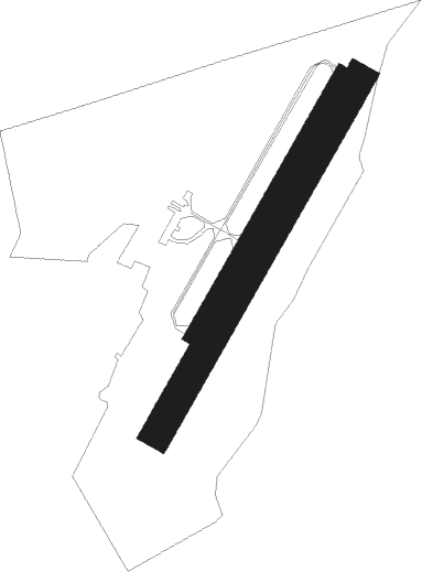
Runway info
Runway 04R / 22L  | ||
| length | 828m (2717ft) | |
| bearing | 45° / 225° | |
| width | 65m (212ft) | |
| surface | grass | |
| displ threshold | 99m (325ft) / 49m (161ft) | |
| Runway 04 / 22 | ||
| length | 629m (2064ft) | |
| bearing | 45° / 225° | |
| width | 18m (59ft) | |
| surface | asphalt | |
| displ threshold | 0m (0ft) / 51m (167ft) | |
Nearby beacons
| code | identifier | dist | bearing | frequency |
|---|---|---|---|---|
| CTX | CHATEAUROUX DEOLS NDB | 22 | 30° | 428 |
| LPD | MONTLUCON-GUERET NDB | 35.1 | 112° | 398 |
| LOE | LIMOGES NDB | 35.6 | 205° | 424 |
| BRG | BOURGES NDB | 37.7 | 58° | 375 |
| LMG | LIMOGES VOR/DME | 52.5 | 216° | 114.50 |
| LSU | LIMOGES NDB | 52.9 | 211° | 320 |
| AMB | AMBOISE NDB | 54.4 | 326° | 341 |
| AMB | AMBOISE VOR/DME | 54.6 | 327° | 113.70 |
| TUR | TOURS VAL DE LOIRE TACAN | 61 | 314° | 113.80 |
| TUR | TOURS VAL DE LOIRE NDB | 67.1 | 320° | 331 |
Disclaimer
The information on this website is not for real aviation. Use this data with the X-Plane flight simulator only! Data taken with kind consent from X-Plane 12 source code and data files. Content is subject to change without notice.