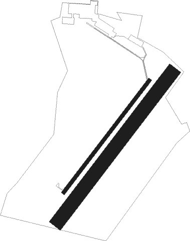
Pontivy - Le Blanc
Airport details
| Country | France |
| State | Centre-Val de Loire |
| Region | LF |
| Airspace | Bordeaux Ctr |
| Municipality | Le Blanc |
| Elevation | 375ft (114m) |
| Timezone | GMT +1 |
| Coordinates | 46.62000, 1.08583 |
| Magnetic var | |
| Type | land |
| Available since | X-Plane v10.40 |
| ICAO code | LFEL |
| IATA code | n/a |
| FAA code | n/a |
Communication
Nearby Points of Interest:
Maison Hénault
-Couvent des Augustins du Blanc
-Gare de Saint-Hilaire
-château de Forges
-Gare de Pouligny-Saint-Pierre
-Lanterne des morts de Ciron
-manoir de Rocheblond
-Pont de Saint-Savin
-Lanterne des morts de Journet
-Château de la Guittière
-Lanterne des morts d'Antigny
-Pilier d'Yzeures-sur-Creuse
-Hôtel de Moussac
-hôtel Mestivier des Minières
-Prieuré de Saint-Marin de Saint-Marcel
-Ancien collège d'Argenton-sur-Creuse
-Pont du Cheix
-Église Saint-Jean Baptiste de Lhommaizé
-Hôtel de la Pouge
-Porte Bergère du Dorat
-Borne milliaire, Cenon-sur-Vienne
-Pont Henri-IV, Châtellerault
-Église Saint-Hilaire de Bignoux
-Manufacture d'armes de Châtellerault
-Château des Places

Nearby beacons
| code | identifier | dist | bearing | frequency |
|---|---|---|---|---|
| PI | POITIERS NDB | 28.4 | 277° | 363 |
| POI | POITIERS BIARDS VOR | 32.5 | 267° | 113.30 |
| CTX | CHATEAUROUX DEOLS NDB | 35 | 66° | 428 |
| LOE | LIMOGES NDB | 36.9 | 157° | 424 |
| AMB | AMBOISE NDB | 47.9 | 357° | 341 |
| LMG | LIMOGES VOR/DME | 48.3 | 184° | 114.50 |
| AMB | AMBOISE VOR/DME | 48.5 | 358° | 113.70 |
| LSU | LIMOGES NDB | 50.2 | 179° | 320 |
| TUR | TOURS VAL DE LOIRE TACAN | 50.3 | 336° | 113.80 |
| TUR | TOURS VAL DE LOIRE NDB | 58.1 | 342° | 331 |
| AGO | ANGOULEME NDB | 61.1 | 216° | 404 |
| OC | COGNAC NDB | 74 | 235° | 346 |
Disclaimer
The information on this website is not for real aviation. Use this data with the X-Plane flight simulator only! Data taken with kind consent from X-Plane 12 source code and data files. Content is subject to change without notice.