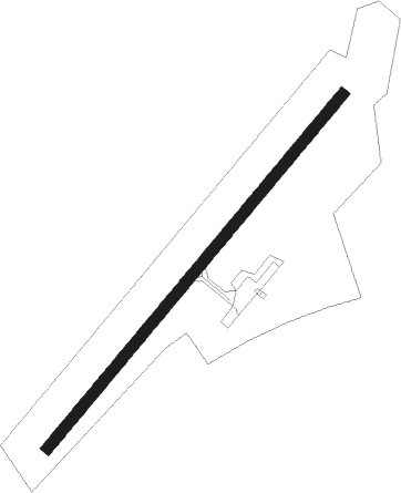
Redon - Redon Bains Sur Oust
Airport details
| Country | France |
| State | Brittany |
| Region | LF |
| Airspace | Brest Ctr |
| Municipality | Bains-sur-Oust |
| Elevation | 225ft (69m) |
| Timezone | GMT +1 |
| Coordinates | 47.69861, -2.03806 |
| Magnetic var | |
| Type | land |
| Available since | X-Plane v10.40 |
| ICAO code | LFER |
| IATA code | n/a |
| FAA code | n/a |
Communication
| Redon Bains sur Oust REDON MULT | 123.500 |
| Redon Bains sur Oust RENNES Approach | 134.000 |
Nearby Points of Interest:
Couvent des Calvairiennes
-remparts de Redon
-Hôtel de Carmoy
-Hôtel de Richelieu
-Manoir du Mail
-Allée couverte de Tréal
-Les Fougerêts
-Chapelle Saint-Jean-Baptiste
-Château de La Villechauve
-Maison
-Commanderie de Limerzel
-Doyenné de Péaule
-Moulin de Pomméniac
-Maison du Canon
-Maison Le Moué, Malestroit
-Maison de la Truie-qui-File, Malestroit
-Maison du Pélican, Malestroit
-Croix Joubin, Malestroit
-Croix de cimetière de Saint-Malo-de-Beignon
-Croix de cimetière du Guerno
-Château du Plessis-Bardoult
-Château de la Touraille
-Puits du presbytère de Questembert
-Fonts baptismaux de l'église de Maxent
-Forges de Paimpont
Nearby beacons
| code | identifier | dist | bearing | frequency |
|---|---|---|---|---|
| MT | SAINT NAZAIRE NDB | 21.9 | 181° | 398 |
| REN | RENNES SAINT JACQUES VOR/DME | 25.2 | 39° | 109.25 |
| VA | VANNES NDB | 25.5 | 276° | 342 |
| NTS | NANTES ATLANTIQUE VOR/DME | 36.6 | 142° | 115.50 |
| PNT | PONTIVY NDB | 37.1 | 295° | 377 |
| GL | NANTES NDB | 41.3 | 152° | 369 |
| DIN | DINARD PLEURTUIT SAINT MA VOR/DME | 53.3 | 357° | 114.30 |
| SB | SAINT BRIEUC NDB | 60.1 | 319° | 353 |
Disclaimer
The information on this website is not for real aviation. Use this data with the X-Plane flight simulator only! Data taken with kind consent from X-Plane 12 source code and data files. Content is subject to change without notice.