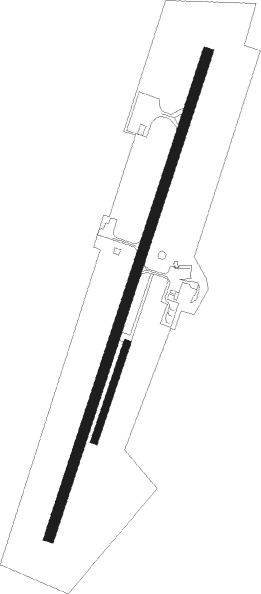
Guiscriff - Guiscriff Scaer
Airport details
| Country | France |
| State | Brittany |
| Region | LF |
| Airspace | Brest Ctr |
| Municipality | Guiscriff |
| Elevation | 574ft (175m) |
| Timezone | GMT +1 |
| Coordinates | 48.05374, -3.66404 |
| Magnetic var | |
| Type | land |
| Available since | X-Plane v10.40 |
| ICAO code | LFES |
| IATA code | n/a |
| FAA code | n/a |
Communication
| Guiscriff Scaer GUISCRIFF CTAF | 129.800 |
| Guiscriff Scaer IROISE Approach | 119.575 |
Nearby Points of Interest:
Calvaire de Guiscriff
-Tumulus de l'Hermitage
-Ossuaire du Saint
-Croix de Bouthiry
-Ossuaire de Gourin
-Chapelle Neuve de Langonnet
-place Plantée
-Calvaire du cimetière de Langonnet
-Tumulus de Kermain
-Fontaine de la Trinité-Bevzer
-Calvaire de Kerantré
-Caserne Hervo
-Puits de Calan
-manoir de Locmaria
-Remparts de Quimper
-Hôtel des Princes
-Puits et niche du Lion
-Calvaire de Quéven
-gare de Châteaulin-Ville
-Église Saints-Pierre-et-Paul de Caudan
-Croix de Kervegan
-croix de chemin en schiste de Kerduellic
-Croix de Kerduellic
-Cité de Soye
-253 bis cité de Soye

Nearby beacons
| code | identifier | dist | bearing | frequency |
|---|---|---|---|---|
| RQ | QUIMPER NDB | 14.3 | 256° | 380 |
| ARE | MONTS D'ARREE VOR | 16.9 | 12° | 112.50 |
| LOR | LORIENT LANN BIHOUE NDB | 19.6 | 142° | 359 |
| LOR | LORIENT LANN BIHOUE TACAN | 19.7 | 143° | 115.80 |
| QPR | QUIMPER PLUGUFFAN VOR/DME | 21.7 | 260° | 117.80 |
| BST | LANVEOC POULMIC NDB | 33.7 | 287° | 428 |
| BST | LANVEOC POULMIC TACAN | 34.4 | 286° | 114.70 |
| LDV | LANDIVISIAU TACAN | 34.6 | 314° | 115.15 |
| PNT | PONTIVY NDB | 34.9 | 90° | 377 |
| GU | BREST NDB | 35.5 | 304° | 338 |
| LN | LANNION NDB | 42.4 | 28° | 345 |
| SB | SAINT BRIEUC NDB | 46.8 | 60° | 353 |
Disclaimer
The information on this website is not for real aviation. Use this data with the X-Plane flight simulator only! Data taken with kind consent from X-Plane 12 source code and data files. Content is subject to change without notice.