Gray St Adrien - Gray Saint Adrien
Airport details
| Country | France |
| State | Bourgogne-Franche-Comté |
| Region | LF |
| Airspace | Reims Ctr |
| Municipality | Gray |
| Elevation | 679ft (207m) |
| Timezone | GMT +1 |
| Coordinates | 47.43222, 5.62139 |
| Magnetic var | |
| Type | land |
| Available since | X-Plane v10.40 |
| ICAO code | LFEV |
| IATA code | n/a |
| FAA code | n/a |
Communication
| Gray Saint Adrien CTAF | 123.500 |
Nearby Points of Interest:
Gray
-Entrepôts Anthony
-ferme de l'abbaye Notre-Dame de Corneux
-maison Davadan
-Mairie-lavoir de Beaujeu
-château de Choye
-Fontaine-lavoir sud
-Ermitage Sainte-Cécile de Valay
-Croix-oratoire de Chaumercenne
-Gy town hall
-Hôtel de ville de Cult
-Four banal
-Mairie-lavoir de Bucey-lès-Gy
-Presbytère de Bucey-lès-Gy
-Enceinte médiévale de Pesmes
-Prieuré de Pesmes
-Maison royale de Pesmes
-Château de Pesmes
-ruines romaines de Membrey
-Hôtel Terrier de Santans
-Château de Champlitte
-Couvent des Augustins de Champlitte
-Enceinte de Placey
-Calvaire du cimetière de Chaucenne
-Bèze Abbey
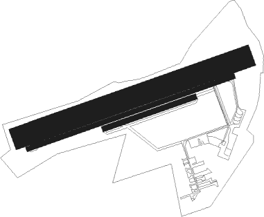
Runway info
Runway 07 / 25  | ||
| length | 801m (2628ft) | |
| bearing | 80° / 260° | |
| width | 18m (59ft) | |
| surface | asphalt | |
| Runway 07L / 25R | ||
| length | 861m (2825ft) | |
| bearing | 80° / 260° | |
| width | 79m (259ft) | |
| surface | grass | |
| Runway 07R / 25L | ||
| length | 350m (1148ft) | |
| bearing | 80° / 260° | |
| width | 20m (66ft) | |
| surface | grass | |
Nearby beacons
| code | identifier | dist | bearing | frequency |
|---|---|---|---|---|
| DJL | DIJON LONGVIC VOR/DME | 23.4 | 253° | 111.45 |
| BSV | BESANCON NDB | 25.6 | 106° | 370 |
| DO | DOLE NDB | 30 | 215° | 309 |
| LUL | LUXEUIL VOR | 31.3 | 69° | 117.10 |
| RLP | ROLAMPONT VOR/DME | 32.2 | 322° | 117.30 |
| LXI | LUXEUIL SAINT SAUVEUR TACAN | 36.4 | 64° | 108.20 |
| CC | CHAMPFORGEUIL NDB | 53.2 | 228° | 391 |
| LAP | PRAZ DME | 55.7 | 134° | 110.65 |
| EPL | EPINAL MIRECOURT VOR | 56 | 26° | 113 |
| EMT | EPINAL NDB | 58.7 | 32° | 419 |
| SPR | ST PREX VOR/DME | 67 | 139° | 113.90 |
Instrument approach procedures
| runway | airway (heading) | route (dist, bearing) |
|---|---|---|
| RWNVA | EV401 (100°) | EV401 2500ft IEV07 (5mi, 159°) 2500ft |
| RWNVA | EV402 (57°) | EV402 2500ft IEV07 (5mi, 339°) 2500ft |
| RNAV | IEV07 2500ft FEV07 (4mi, 80°) 2500ft LFEV (5mi, 80°) 707ft EV405 (3mi, 327°) 2000ft EV401 (9mi, 270°) 2500ft |
Disclaimer
The information on this website is not for real aviation. Use this data with the X-Plane flight simulator only! Data taken with kind consent from X-Plane 12 source code and data files. Content is subject to change without notice.