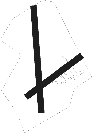
Guiscriff - Nancy Azelot
Airport details
| Country | France |
| State | Grand Est |
| Region | LF |
| Airspace | Reims Ctr |
| Municipality | Azelot |
| Elevation | 958ft (292m) |
| Timezone | GMT +1 |
| Coordinates | 48.59195, 6.23972 |
| Magnetic var | |
| Type | land |
| Available since | X-Plane v10.40 |
| ICAO code | LFEX |
| IATA code | n/a |
| FAA code | n/a |
Communication
| Nancy Azelot CTAF | 123.500 |
Nearby Points of Interest:
château de l'abbé de Bouzey
-papeterie de la Rochette
-château de Lenoncourt
-villa Fournier-Defaut
-immeuble, 10 rue des Sœurs-Macarons
-Tour Joffre Saint-Thiébaut
-L'Excelsior
-maison Lecreulx
-Maison Fruhinsholzs
-Daum
-Immeuble, 38 place de la Carrière
-funiculaire de la Cure d'Air
-Pont sur le Sânon
-Cure d'air Trianon
-La Douëra
-site archéologique d'Essey-Nancy
-Manège des Gendarmes rouges
-Bois l'Évêque dolmen
-Abbaye Saint-Rémy de Lunéville
-Maison du Marchand
-Immeuble, 61 rue de Lorraine
-Château de la Favorite
-Château de Gerbéviller
-Château de Vaudémont
-Monument Barrès

Nearby beacons
| code | identifier | dist | bearing | frequency |
|---|---|---|---|---|
| NAY | NANCY OCHEY TACAN | 11.4 | 268° | 116.80 |
| EMT | EPINAL NDB | 15.6 | 190° | 419 |
| EPL | EPINAL MIRECOURT VOR | 17.9 | 213° | 113 |
| LOU | LORRAINE NDB | 24.4 | 4° | 388 |
| GTQ | GROSTENQUIN VOR/DME | 30.2 | 50° | 111.25 |
| PHG | PHALSBOURG NDB | 39.4 | 80° | 424 |
| MTZ | METZ NDB | 41.1 | 357° | 354 |
| ETN | ETAIN NDB | 44.2 | 318° | 410 |
| LXI | LUXEUIL SAINT SAUVEUR TACAN | 48.8 | 172° | 108.20 |
| SAD | DME | 50.8 | 55° | 116.75 |
| SR | ENSHEIM (SAARBRUECKEN) NDB | 53.9 | 57° | 360 |
| LUL | LUXEUIL VOR | 54.3 | 176° | 117.10 |
| RLP | ROLAMPONT VOR/DME | 57.1 | 235° | 117.30 |
| WLU | LUXEMBOURG NDB | 59 | 349° | 346 |
Disclaimer
The information on this website is not for real aviation. Use this data with the X-Plane flight simulator only! Data taken with kind consent from X-Plane 12 source code and data files. Content is subject to change without notice.