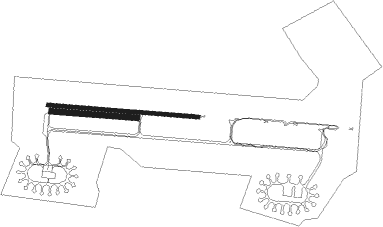
Brienne-le-château - Brienne Le Chateau
Airport details
| Country | France |
| State | Grand Est |
| Region | LF |
| Airspace | Paris Ctr |
| Municipality | Saint-Christophe-Dodinicourt |
| Elevation | 378ft (115m) |
| Timezone | GMT +1 |
| Coordinates | 48.42972, 4.48222 |
| Magnetic var | |
| Type | land |
| Available since | X-Plane v10.40 |
| ICAO code | LFFN |
| IATA code | n/a |
| FAA code | n/a |
Communication
Nearby Points of Interest:
Halle de Lesmont
-Hôpital de la Charité de Brienne-le-Château
-Hôtel de ville de Brienne-le-Château
-Halles de Brienne-le-Château
-Croix de Vallentigny
-halle de Piney
-église de Géraudot
-Pont Henri IV
-hôtel de ville de Soulaines-Dhuys
-Montiéramey Abbey
-étangs de la Champagne humide
-Hôtel de Ville de Bar-sur-Aube
-Croix de cimetière de Trouan-le-Grand
-Église Saint-Georges de Trouans
-Maison du Dauphin, Troyes
-Hospice Saint-Nicolas de Troyes
-Allée couverte des Grèves de Frécul
-Chapitre de Troyes
-Prefecture hotel of Aube
-Maison de l'Orfèvre
-Monastère de la Visitation de Troyes
-Hôtel de ville de Vitry-le-François
-Hôtel Juvénal des Ursins
-Hôtel du Lion-Noir
-Ancien cimetière de l'église de la Madeleine
Nearby beacons
| code | identifier | dist | bearing | frequency |
|---|---|---|---|---|
| TY | TROYES NDB | 19.1 | 266° | 320 |
| SDI | SAINT DIZIER ROBINSON TACAN | 20.4 | 63° | 114 |
| CVT | CHALONS NDB | 20.8 | 334° | 347 |
| TRO | TROYES BARBEREY VOR | 23.3 | 251° | 116 |
| CAV | CHALONS VOR/DME | 24.9 | 316° | 111.65 |
| VAT | CHALONS NDB | 28.8 | 308° | 367 |
| RLP | ROLAMPONT VOR/DME | 43.9 | 124° | 117.30 |
| AX | AUXERRE NDB | 49.7 | 243° | 417 |
| CTL | CHATILLON SUR MARNE VOR/DME | 55.5 | 308° | 117.60 |
| REM | REIMS VOR | 55.7 | 334° | 112.30 |
| MMD | MONTMEDY VOR | 63 | 34° | 109.40 |
Disclaimer
The information on this website is not for real aviation. Use this data with the X-Plane flight simulator only! Data taken with kind consent from X-Plane 12 source code and data files. Content is subject to change without notice.

