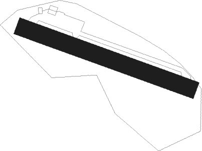
Celles Sur Ource - Bar Sur Seine
Airport details
| Country | France |
| State | Grand Est |
| Region | LF |
| Airspace | Paris Ctr |
| Municipality | Celles-sur-Ource |
| Elevation | 937ft (286m) |
| Timezone | GMT +1 |
| Coordinates | 48.06611, 4.41250 |
| Magnetic var | |
| Type | land |
| Available since | X-Plane v10.35 |
| ICAO code | LFFR |
| IATA code | n/a |
| FAA code | n/a |
Communication
| Bar sur Seine ATC Frequency | 123.500 |
Nearby Points of Interest:
Villeneuve (Bar-sur-Seine) watermill
-Moulin de Bar-sur-Seine
-Pont de Ricey-Haut
-Halle de Ricey-Haut
-Croix de cimetière de Fouchères
-Molesme Abbey
-Autel de Pargues
-ancienne papeterie de Chappes
-Montiéramey Abbey
-Vix Grave
-Mairie-lavoir et éolienne d'Arthonnay
-Café des chiens blancs
-Bastion du Petit-Haut
-abbaye Notre-Dame de Châtillon
-sous-préfecture de Châtillon-sur-Seine
-Bibliothèque municipale de Châtillon-sur-Seine
-couvent des Cordeliers de Châtillon-sur-Seine
-Hôtel de Châtillon-sur-Seine
-Hôtel du Congrès
-Hôtel de Clermont-Tonnerre de Châtillon-sur-Seine
-Maison de la rue des Avocats
-Maison des Barrodeau
-Maison de l'Arquebuse de Châtillon-sur-Seine
-Commanderie d'Épailly
-église de Géraudot
Nearby beacons
| code | identifier | dist | bearing | frequency |
|---|---|---|---|---|
| TRO | TROYES BARBEREY VOR | 21.1 | 292° | 116 |
| TY | TROYES NDB | 25.8 | 309° | 320 |
| RLP | ROLAMPONT VOR/DME | 34.9 | 101° | 117.30 |
| AX | AUXERRE NDB | 37.6 | 261° | 417 |
| SDI | SAINT DIZIER ROBINSON TACAN | 39.2 | 40° | 114 |
| CVT | CHALONS NDB | 41.7 | 352° | 347 |
| CAV | CHALONS VOR/DME | 44.2 | 340° | 111.65 |
| VAT | CHALONS NDB | 46.6 | 332° | 367 |
| DJL | DIJON LONGVIC VOR/DME | 55.2 | 139° | 111.45 |
Disclaimer
The information on this website is not for real aviation. Use this data with the X-Plane flight simulator only! Data taken with kind consent from X-Plane 12 source code and data files. Content is subject to change without notice.
