Mereau - Vierzon Mereau
Airport details
| Country | France |
| State | Centre-Val de Loire |
| Region | LF |
| Airspace | Paris Ctr |
| Municipality | Méreau |
| Elevation | 430ft (131m) |
| Timezone | GMT +1 |
| Coordinates | 47.19472, 2.06667 |
| Magnetic var | |
| Type | land |
| Available since | X-Plane v10.40 |
| ICAO code | LFFV |
| IATA code | n/a |
| FAA code | n/a |
Communication
| Vierzon Mereau VIERZON INFO | 125.250 |
Nearby Points of Interest:
Abbaye Saint-Martin de Massay
-Nançay Radio Telescope
-Château de La Ferté-Imbault
-Bourges, Lycée Marguerite de Navarre
-château de Rivaulde
-Hôtel-Dieu de Bourges
-Halle au blé de Bourges
-Collège des Jésuites de Bourges
-Couvent des Augustins de Bourges
-abbaye Saint-Ambroix de Bourges
-Prefecture hotel of Cher
-hotel de panette - un chateau en ville
-Remparts gallo-romains de Bourges
-Palais archiépiscopal de Bourges
-Portail Saint-Ursin
-Usine Matra de Romorantin
-Église Saint-Martin de Marcilly-en-Gault
-Château de Maupas
-théâtre antique de Neung-sur-Beuvron
-Buildings by ceramist Jean Linard
-Église Saint-Denis de Condé
-Église Saint-Amand de Saint-Denis-de-Palin
-Couvent des Cordeliers de Châteauroux
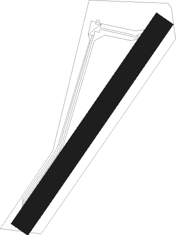
Runway info
| Runway 04 / 22 | ||
| length | 681m (2234ft) | |
| bearing | 50° / 230° | |
| width | 60m (197ft) | |
| surface | grass | |
| displ threshold | 120m (394ft) / 90m (295ft) | |
Nearby beacons
| code | identifier | dist | bearing | frequency |
|---|---|---|---|---|
| BRG | BOURGES NDB | 13.7 | 129° | 375 |
| CTX | CHATEAUROUX DEOLS NDB | 18.9 | 226° | 428 |
| AVD | AVORD TACAN | 24.4 | 104° | 110.60 |
| AVD | AVORD NDB | 30.2 | 96° | 288 |
| NEV | NEVERS VOR | 35.3 | 93° | 113.40 |
| AV | AVORD NDB | 39.9 | 110° | 306 |
| ORS | ORLEANS SAINT DENIS DE L'HOTEL NDB | 45.1 | 13° | 322 |
| BLB | BLOIS NDB | 45.3 | 299° | 397 |
| BCY | ORLEANS VOR/DME | 49.1 | 339° | 117.35 |
| OAN | ORLEANS-BRICY NDB | 49.9 | 340° | 385 |
| LPD | MONTLUCON-GUERET NDB | 54.7 | 163° | 398 |
| PTV | PITHIVIERS VOR | 58.2 | 12° | 116.50 |
| CAD | CHATEAUDUN VOR/DME | 58.7 | 322° | 115.95 |
| CHN | CHATEAUDUN TACAN | 58.7 | 321° | 110.20 |
Disclaimer
The information on this website is not for real aviation. Use this data with the X-Plane flight simulator only! Data taken with kind consent from X-Plane 12 source code and data files. Content is subject to change without notice.