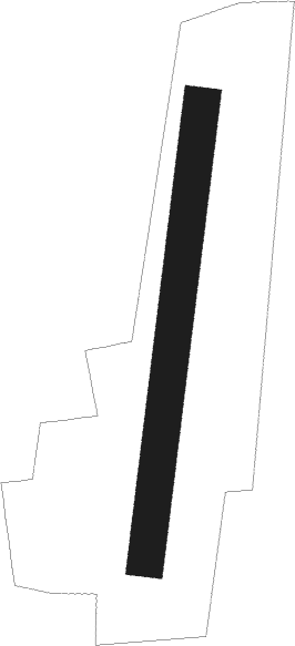
Cuisery - Tournus Cuisery
Airport details
| Country | France |
| State | Bourgogne-Franche-Comté |
| Region | LF |
| Airspace | Reims Ctr |
| Municipality | L'Abergement-de-Cuisery |
| Elevation | 682ft (208m) |
| Timezone | GMT +1 |
| Coordinates | 46.56139, 4.97528 |
| Magnetic var | |
| Type | land |
| Available since | X-Plane v10.40 |
| ICAO code | LFFX |
| IATA code | n/a |
| FAA code | n/a |
Communication
| Tournus Cuisery INFO | 123.500 |
Nearby Points of Interest:
War memorial of Cuisery
-Château de Cuisery
-Church of St Philibert
-Bois de Maillance
-Dunes des Charmes
-Prairie de la vieille Seille
-Puits du presbytère de Lambres
-Maison à pans de bois (Romenay)
-Ferme bressanne de Tenarre
-Ferme du Tremblay
-Château de Buffières
-Porche des Antonins
-Ferme de Molardoury
-Halles de Brancion
-Ferme de Pérignat
-La Ferté Abbey
-Presbytère de Chapaize
-Hôtel du Commerce
-Château de Saint-Martin-Belle-Roche
-Ferme de Bevay
-Hôpital de Chalon-sur-Saône
-Bureau des coches et des diligences
-Hôtel de Colmont-Fusselet
-Abbaye Saint-Pierre de Chalon-sur-Saône
-Manoir-ferme bressan de Sagy
Nearby beacons
| code | identifier | dist | bearing | frequency |
|---|---|---|---|---|
| CC | CHAMPFORGEUIL NDB | 11 | 320° | 391 |
| DO | DOLE NDB | 28.5 | 38° | 309 |
| SN | SAINT YAN NDB | 38.8 | 253° | 430 |
| DJL | DIJON LONGVIC VOR/DME | 42.8 | 10° | 111.45 |
| RNN | ROANNE NDB | 47.3 | 244° | 358 |
| LSE | LYON SAINT EXUPERY VOR/DME | 49.2 | 172° | 114.75 |
| ROA | ROANNE VOR | 50.4 | 243° | 110.25 |
| CBY | CHAMBERY VOR/DME | 52.1 | 131° | 115.40 |
| BR | LYON-BRON NDB | 56.7 | 179° | 388 |
| EB | SAINT ETIENNE NDB | 62.4 | 217° | 379 |
| CH | CHAMBERY NDB | 69.4 | 137° | 346 |
Disclaimer
The information on this website is not for real aviation. Use this data with the X-Plane flight simulator only! Data taken with kind consent from X-Plane 12 source code and data files. Content is subject to change without notice.