Colmar - Dijon Darois
Airport details
| Country | France |
| State | Bourgogne-Franche-Comté |
| Region | LF |
| Airspace | Reims Ctr |
| Municipality | Darois |
| Elevation | 1583ft (482m) |
| Timezone | GMT +1 |
| Coordinates | 47.38463, 4.94599 |
| Magnetic var | |
| Type | land |
| Available since | X-Plane v10.40 |
| ICAO code | LFGI |
| IATA code | n/a |
| FAA code | n/a |
Communication
| Dijon Darois Airport Frequency | 119.550 |
Nearby Points of Interest:
Villa Vurpillot
-Garage Alizon
-Place Dupuis
-Villa Pernot
-Château de Dijon
-place Saint-Bernard
-Hôtel des Postes de Dijon
-Dijon Modern style building
-Abbaye de Saint-Bénigne
-cellier de Morimont
-Cellier de Clairvaux (Dijon)
-palais abbatial Saint-Bénigne
-Hospices de Dijon
-Hôtel Lebault
-Halles de Dijon
-Hôtel des Godrans
-Hôtel Bouhier de Lantenay
-hôtel Millière
-Three Faces house
-Hôtel de Gissey
-Hôtel Berbis de Longecourt
-hôtel de Lux
-Hôtel Févret de Saint-Mesmin
-Hôtel Burteur
-Hôtel d'Esterno
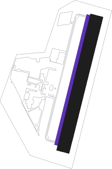
Runway info
| Runway 02L / 20R | ||
| length | 799m (2621ft) | |
| bearing | 26° / 206° | |
| width | 20m (66ft) | |
| surface | asphalt | |
| displ threshold | 49m (161ft) / 0m (0ft) | |
Runway 02R / 20L  | ||
| length | 778m (2552ft) | |
| bearing | 26° / 206° | |
| width | 80m (262ft) | |
| surface | grass | |
Nearby beacons
| code | identifier | dist | bearing | frequency |
|---|---|---|---|---|
| DJL | DIJON LONGVIC VOR/DME | 9.2 | 127° | 111.45 |
| DO | DOLE NDB | 28.4 | 138° | 309 |
| RLP | ROLAMPONT VOR/DME | 33.6 | 30° | 117.30 |
| CC | CHAMPFORGEUIL NDB | 40 | 189° | 391 |
| TRO | TROYES BARBEREY VOR | 65.4 | 311° | 116 |
Disclaimer
The information on this website is not for real aviation. Use this data with the X-Plane flight simulator only! Data taken with kind consent from X-Plane 12 source code and data files. Content is subject to change without notice.