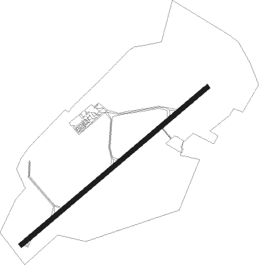
Dole/tavaux - Dole Jura
Airport details
| Country | France |
| State | Bourgogne-Franche-Comté |
| Region | LF |
| Airspace | Reims Ctr |
| Municipality | Gevry |
| Elevation | 645ft (197m) |
| Timezone | GMT +1 |
| Coordinates | 47.04269, 5.43493 |
| Magnetic var | |
| Type | land |
| Available since | X-Plane v10.40 |
| ICAO code | LFGJ |
| IATA code | DLE |
| FAA code | n/a |
Communication
| Dole Jura DOLE Tower | 130.775 |
Approach frequencies
| ILS-cat-I | RW05 | 109.35 | 18.00mi |
| 3° GS | RW05 | 109.35 | 18.00mi |
Nearby Points of Interest:
Médiathèque de l'Hôtel-Dieu
-Temple maçonnique de Dole
-Château de Pierre-de-Bresse
-Hospices de Seurre
-Fontaine de Sermange
-Pont sur le Doubs (Navilly)
-Château de Pesmes
-Maison royale de Pesmes
-Prieuré de Pesmes
-Enceinte médiévale de Pesmes
-château de Fourg
-Oratoire de Buffard
-Saline de Poligny
-Demeure Delort
-Château Pécauld
-château de Rennes-sur-Loue
-La Chevana d'Or
-Croix-oratoire de Chaumercenne
-Maison à pans de bois de Mervans
-Château de Paroy
-Ermitage Sainte-Cécile de Valay
-Château de Quingey
-Abbaye de Corcelles
-Prieuré de Lieu-Dieu
-Pont sur la Seille
Nearby beacons
| code | identifier | dist | bearing | frequency |
|---|---|---|---|---|
| DO | DOLE NDB | 6.5 | 244° | 309 |
| DJL | DIJON LONGVIC VOR/DME | 19.4 | 304° | 111.45 |
| CC | CHAMPFORGEUIL NDB | 31 | 241° | 391 |
| BSV | BESANCON NDB | 34.1 | 74° | 370 |
| LAP | PRAZ DME | 45.8 | 111° | 110.65 |
| GLA | GLAND NDB | 50.5 | 128° | 375 |
| LUL | LUXEUIL VOR | 52.2 | 53° | 117.10 |
| RLP | ROLAMPONT VOR/DME | 52.4 | 348° | 117.30 |
| GVA | GENEVA VOR/DME | 55.4 | 139° | 115.75 |
| PAS | PASSEIRY VOR/DME | 57.7 | 147° | 116.60 |
| LXI | LUXEUIL SAINT SAUVEUR TACAN | 58.1 | 51° | 108.20 |
Instrument approach procedures
| runway | airway (heading) | route (dist, bearing) |
|---|---|---|
| RW05-Y | GJ401 (77°) | GJ401 4000ft IGJ05 (4mi, 134°) 3000ft |
| RW05-Y | GJ402 (47°) | GJ402 4000ft IGJ05 (5mi, 314°) 3000ft |
| RNAV | IGJ05 3000ft FJ05Y (6mi, 64°) 3000ft LFGJ (8mi, 64°) 688ft GJ502 (8mi, 141°) GJ402 (13mi, 255°) 3000ft | |
| RW05-Z | GJ401 (77°) | GJ401 4000ft IGJ05 (4mi, 134°) 3000ft |
| RW05-Z | GJ402 (47°) | GJ402 4000ft IGJ05 (5mi, 314°) 3000ft |
| RNAV | IGJ05 3000ft FJ05Z (6mi, 64°) 3000ft LFGJ (8mi, 64°) 688ft GJ501 (2mi, 64°) GJ502 (8mi, 157°) GJ402 (13mi, 255°) 3000ft |
Disclaimer
The information on this website is not for real aviation. Use this data with the X-Plane flight simulator only! Data taken with kind consent from X-Plane 12 source code and data files. Content is subject to change without notice.