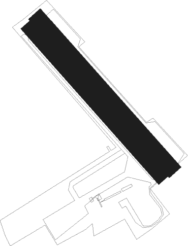
Gisy-les-nobles - Pont-sur-yonne
Airport details
| Country | France |
| State | Bourgogne-Franche-Comté |
| Region | LF |
| Airspace | Paris Ctr |
| Municipality | Gisy-les-Nobles |
| Elevation | 229ft (70m) |
| Timezone | GMT +1 |
| Coordinates | 48.28734, 3.24237 |
| Magnetic var | |
| Type | land |
| Available since | X-Plane v10.40 |
| ICAO code | LFGO |
| IATA code | n/a |
| FAA code | n/a |
Communication
| Pont-sur-Yonne PONT-SUR-YONNE MULT | 118.175 |
Nearby Points of Interest:
Abbaye Sainte-Colombe de Saint-Denis-lès-Sens
-Town Hall (Sens)
-Sens market hall
-Hôtel de Vaudricourt
-abbaye de Saint-Jean-lès-Sens
-Tour de la Brèche in Sens
-Château de Thorigny-sur-Oreuse
-Éolienne de La Postolle
-Polissoirs de la Pierre à l'eau
-Église Saint-Savinien-le-jeune de Sens
-Ferme des Prés
-grange cistercienne de Touchebœuf
-Town hall of Villeneuve-sur-Yonne
-Croix de pierre de Villeneuve-sur-Yonne
-maison des Sept-Têtes
-maison Joseph-Joubert
-Enceinte de Villeneuve-sur-Yonne
-Menhir de Pierre Frite
-Croix de la Pierre Percée
-Pierre à Colon
-Château de Piffonds
-Pierre Plantée de Dormelles
-Éolienne de Vaudeurs
-Commanderie de Coulours
-Maison du poteau Cornier de Saint-Julien-du-Sault
Nearby beacons
| code | identifier | dist | bearing | frequency |
|---|---|---|---|---|
| BRY | BRAY SUR SEINE VOR/DME | 7.4 | 24° | 114.10 |
| MV | MELUN NDB | 19.1 | 315° | 434 |
| MLN | MELUN VILLAROCHE VOR/DME | 19.8 | 291° | 113.60 |
| AX | AUXERRE NDB | 24.3 | 145° | 417 |
| TRO | TROYES BARBEREY VOR | 28.8 | 93° | 116 |
| TY | TROYES NDB | 31.1 | 82° | 320 |
| CLM | COULOMMIERS VOR/DME | 34.6 | 338° | 112.90 |
| PTV | PITHIVIERS VOR | 39.9 | 262° | 116.50 |
| POY | ORLY (PARIS) NDB | 43.1 | 297° | 334 |
| VAT | CHALONS NDB | 43.4 | 57° | 367 |
| ORS | ORLEANS SAINT DENIS DE L'HOTEL NDB | 45.2 | 251° | 322 |
| CAV | CHALONS VOR/DME | 46.6 | 61° | 111.65 |
| PGS | CHARLES-DE-GAULLE (PARIS) VOR/DME | 49.3 | 319° | 117.05 |
| BT | LE BOURGET (PARIS) VOR/DME | 51.7 | 311° | 116.10 |
| CTL | CHATILLON SUR MARNE VOR/DME | 52.7 | 22° | 117.60 |
| CGN | (PARIS) DME | 52.9 | 315° | 115.35 |
| BSN | DME | 54.6 | 348° | 114.85 |
Disclaimer
The information on this website is not for real aviation. Use this data with the X-Plane flight simulator only! Data taken with kind consent from X-Plane 12 source code and data files. Content is subject to change without notice.

