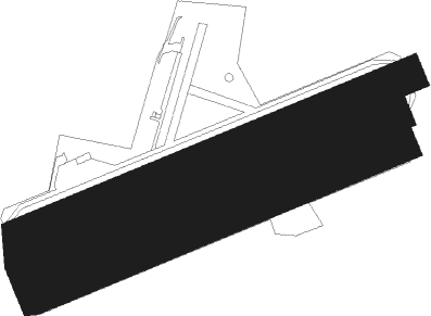
Chéu - Saint Florentin Cheu
Airport details
| Country | France |
| State | Bourgogne-Franche-Comté |
| Region | LF |
| Airspace | Paris Ctr |
| Municipality | Jaulges |
| Elevation | 351ft (107m) |
| Timezone | GMT +1 |
| Coordinates | 47.98139, 3.77694 |
| Magnetic var | |
| Type | land |
| Available since | X-Plane v10.40 |
| ICAO code | LFGP |
| IATA code | n/a |
| FAA code | n/a |
Communication
| Saint Florentin Cheu CTAF | 123.500 |
Nearby Points of Interest:
Croix de chemin de Soumaintrain
-lavoir de Brienon-sur-Armançon
-Halle d'Ervy-le-Châtel
-Porte Saint-Nicolas
-Église Saint-Martin de Lignières
-Halles de Seignelay
-Maison de l'Obédiencerie
-Hospice de Chablis
-Hôtel Gauthier de Sibert
-Marché couvert de Tonnerre
-Ancienne confiserie de Tonnerre
-Hôtel d'Uzès
-Pont de pierre (Monéteau)
-Éolienne de Vaudeurs
-Château d'Yrouerre
-Ancien hôpital psychiatrique de l'Yonne
-Commanderie de Coulours
-Pierre à Colon
-Maison dite L'Arbre de Jessé
-Prieuré de Notre-Dame
-Palais de justice de Joigny
-maison Puynesge
-Quartier Dubois-Thainville
-Château des Gondy à Joigny
-saint-jean gate
Runway info
Nearby beacons
| code | identifier | dist | bearing | frequency |
|---|---|---|---|---|
| AX | AUXERRE NDB | 11.6 | 257° | 417 |
| TRO | TROYES BARBEREY VOR | 17.8 | 35° | 116 |
| TY | TROYES NDB | 26.7 | 28° | 320 |
| BRY | BRAY SUR SEINE VOR/DME | 32 | 311° | 114.10 |
| MV | MELUN NDB | 46.9 | 306° | 434 |
| MLN | MELUN VILLAROCHE VOR/DME | 47.9 | 296° | 113.60 |
| VAT | CHALONS NDB | 49.9 | 16° | 367 |
| CAV | CHALONS VOR/DME | 50.2 | 25° | 111.65 |
| CVT | CHALONS NDB | 51.4 | 35° | 347 |
| CLM | COULOMMIERS VOR/DME | 60.1 | 319° | 112.90 |
| NEV | NEVERS VOR | 60.4 | 226° | 113.40 |
| AVD | AVORD NDB | 65.1 | 229° | 288 |
Disclaimer
The information on this website is not for real aviation. Use this data with the X-Plane flight simulator only! Data taken with kind consent from X-Plane 12 source code and data files. Content is subject to change without notice.

