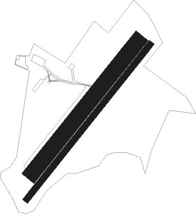
Semur En Auxois
Airport details
| Country | France |
| State | Bourgogne-Franche-Comté |
| Region | LF |
| Airspace | Paris Ctr |
| Municipality | Semur-en-Auxois |
| Elevation | 1053ft (321m) |
| Timezone | GMT +1 |
| Coordinates | 47.48111, 4.34306 |
| Magnetic var | |
| Type | land |
| Available since | X-Plane v10.40 |
| ICAO code | LFGQ |
| IATA code | n/a |
| FAA code | n/a |
Communication
| Semur en Auxois CTAF | 123.500 |
| Semur en Auxois Dep | 123.500 |
Nearby Points of Interest:
Calvaire bourguignon de Grignon
-Moutier-Saint-Jean de Réôme
-Hôtel de Buffon
-Château de Cisery
-Fortifications de Montréal (Yonne)
-Grange cistercienne d'Esmorots
-huilerie de Chaume-lès-Baigneux
-maison, 8 route de Dijon
-Colonnes de Nuits
-Fortified gate of Nuits
-Château de Montjalin
-Maison des Goix
-Maison des Templiers de Coulmier-le-Sec
-Château de Jouancy
-Hôtel Condé
-Église de la Nativité-de-Notre-Dame de Vassy
-Remparts d'Avallon
-château d'Annéot
-City gate of Noyers-sur-Serein
-Town hall of Noyers-sur-Serein
-Maison de la Toison d'Or
-Lavoir
-porte de Tonnerre
-Calvaire de Pontaubert
-Château de Vault-de-Lugny

Nearby beacons
| code | identifier | dist | bearing | frequency |
|---|---|---|---|---|
| DJL | DIJON LONGVIC VOR/DME | 33.1 | 106° | 111.45 |
| AX | AUXERRE NDB | 43 | 298° | 417 |
| RLP | ROLAMPONT VOR/DME | 44.6 | 65° | 117.30 |
| TRO | TROYES BARBEREY VOR | 48.7 | 334° | 116 |
| DO | DOLE NDB | 49.4 | 118° | 309 |
| CC | CHAMPFORGEUIL NDB | 50 | 147° | 391 |
| MOU | MOULINS VOR/DME | 54.8 | 223° | 116.70 |
| TY | TROYES NDB | 56.8 | 340° | 320 |
Disclaimer
The information on this website is not for real aviation. Use this data with the X-Plane flight simulator only! Data taken with kind consent from X-Plane 12 source code and data files. Content is subject to change without notice.