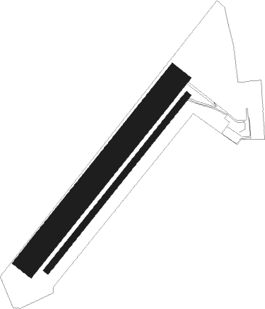
Buhl-lorraine - Sarrebourg Buhl
Airport details
| Country | France |
| State | Grand Est |
| Region | LF |
| Airspace | Reims Ctr |
| Municipality | Buhl-Lorraine |
| Elevation | 873ft (266m) |
| Timezone | GMT +1 |
| Coordinates | 48.71833, 7.08000 |
| Magnetic var | |
| Type | land |
| Available since | X-Plane v10.40 |
| ICAO code | LFGT |
| IATA code | n/a |
| FAA code | n/a |
Communication
Nearby Points of Interest:
Niderviller pottery
-Fortifications de Sarrebourg
-Bibliothèque de Sarrebourg
-Villa Weiherstein
-Abbaye de Hesse
-Saint-Louis-Arzviller inclined plane
-Ancienne verrerie de Lettenbach
-Synagogue de Phalsbourg
-Pont sur l’Isch
-Banc-reposoir napoléonien (Weyer)
-Château de Drulingen
-Abbaye de Graufthal
-Chapelle Sainte-Marie de l'Assomption d'Obersteigen
-Oppidum du Fossé des Pandours
-Gare de Nouvel-Avricourt
-Banc-reposoir de Marmoutier
-Mont Saint-Michel
-Chapelle du Kirchberg
-Maison au 27, Grand-Rue à Saverne
-Ancien hôtel des Rathsamhausen zum Stein
-Maison au 8, rue des Pères à Saverne
-Maison Katz
-La Poste, Saverne
-Maison au 6, rue des Églises à Saverne
-Maison Mitterspach au 96, Grand Rue à Saverne

Nearby beacons
| code | identifier | dist | bearing | frequency |
|---|---|---|---|---|
| PHG | PHALSBOURG NDB | 5.5 | 68° | 424 |
| SAV | SAVERNE VOR/DME | 15.3 | 78° | 110.45 |
| GTQ | GROSTENQUIN VOR/DME | 21.5 | 306° | 111.25 |
| STR | STRASBOURG ENTZHEIM VOR/DME | 23.3 | 113° | 115.60 |
| SE | STRASBOURG NDB | 26.3 | 102° | 412 |
| SAD | DME | 29.7 | 4° | 116.75 |
| SR | ENSHEIM (SAARBRUECKEN) NDB | 30.4 | 16° | 360 |
| ZWN | ZWEIBRUECKEN VOR/DME | 33.4 | 33° | 114.80 |
| LOU | LORRAINE NDB | 36.1 | 289° | 388 |
| LHR | LAHR NDB | 36.5 | 117° | 337 |
| LRD | DME | 36.5 | 115° | 108.05 |
| HO | COLMAR-HOUSSEN NDB | 36.9 | 154° | 380 |
| EMT | EPINAL NDB | 42.1 | 246° | 419 |
| RMS | RAMSTEIN TACAN | 47.4 | 35° | 113.40 |
| MTZ | METZ NDB | 47.9 | 303° | 354 |
| LXI | LUXEUIL SAINT SAUVEUR TACAN | 63.1 | 218° | 108.20 |
| LE | LUXEMBOURG NDB | 64.2 | 318° | 318 |
| LUX | LUXEMBOURG VOR/DME | 64.2 | 318° | 112.25 |
| ELU | LUXEMBOURG NDB | 64.3 | 323° | 368 |
| LW | LUXEMBOURG NDB | 64.4 | 315° | 404 |
Disclaimer
The information on this website is not for real aviation. Use this data with the X-Plane flight simulator only! Data taken with kind consent from X-Plane 12 source code and data files. Content is subject to change without notice.