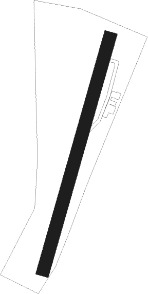
Verdun - Champagnole Crotenay
Airport details
| Country | France |
| State | Bourgogne-Franche-Comté |
| Region | LF |
| Airspace | Reims Ctr |
| Municipality | Crotenay |
| Elevation | 1745ft (532m) |
| Timezone | GMT +1 |
| Coordinates | 46.76389, 5.81972 |
| Magnetic var | |
| Type | land |
| Available since | X-Plane v10.40 |
| ICAO code | LFGX |
| IATA code | n/a |
| FAA code | n/a |
Communication
Nearby Points of Interest:
site archéologique du lac de Chalain
-Saline de Poligny
-Pont sur la Seille
-Château Pécauld
-Demeure Delort
-Fontaine aux dauphins de Conliège
-Maison de la Familiarité
-Église Saint-Laurent d'Arc-sous-Montenot
-Le Grand Lac de Clairvaux
-Saline de Montaigu
-La Chevana d'Or
-Saline de Montmorot
-Église Saint-Jacques de Chaux-Neuve
-château de Rennes-sur-Loue
-Town hall of Mouthe
-Oratoire de Buffard
-Hôtel de ville de Morez
-Château de Paroy
-Presbytère de Remoray-Boujeons
-Maison Renaissance d'Échay
-Lac d'Onoz
-Lavoir de Cussey-sur-Lison
-château de Fourg
-Mairie de Flacey-en-Bresse
-Maison de Monte au Lever
Nearby beacons
| code | identifier | dist | bearing | frequency |
|---|---|---|---|---|
| DO | DOLE NDB | 24.7 | 293° | 309 |
| LAP | PRAZ DME | 25 | 98° | 110.65 |
| GLA | GLAND NDB | 27.6 | 130° | 375 |
| SPR | ST PREX VOR/DME | 31.4 | 115° | 113.90 |
| GVA | GENEVA VOR/DME | 33.2 | 149° | 115.75 |
| BSV | BESANCON NDB | 34 | 37° | 370 |
| PAS | PASSEIRY VOR/DME | 36.8 | 163° | 116.60 |
| CC | CHAMPFORGEUIL NDB | 40.2 | 267° | 391 |
| DJL | DIJON LONGVIC VOR/DME | 42.4 | 305° | 111.45 |
| LPS | LES EPLATURES NDB | 44.3 | 72° | 403 |
| CBY | CHAMBERY VOR/DME | 53 | 184° | 115.40 |
| AT | ANNECY NDB | 54.8 | 167° | 384 |
| LUL | LUXEUIL VOR | 58.8 | 27° | 117.10 |
| HR | HERICOURT NDB | 60.6 | 49° | 289 |
Disclaimer
The information on this website is not for real aviation. Use this data with the X-Plane flight simulator only! Data taken with kind consent from X-Plane 12 source code and data files. Content is subject to change without notice.
