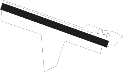
Nuits Saint Georges
Airport details
| Country | France |
| State | Bourgogne-Franche-Comté |
| Region | LF |
| Airspace | Reims Ctr |
| Municipality | Nuits-Saint-Georges |
| Elevation | 768ft (234m) |
| Timezone | GMT +1 |
| Coordinates | 47.14222, 4.96833 |
| Magnetic var | |
| Type | land |
| Available since | X-Plane v10.40 |
| ICAO code | LFGZ |
| IATA code | n/a |
| FAA code | n/a |
Communication
| Nuits Saint Georges INFO | 123.500 |
Nearby Points of Interest:
Beffroi de Nuits-Saint-Georges
-Hospices de Nuits-Saint-Georges
-Château de Gilly-lès-Cîteaux
-Lavoir de Fixin
-Climats, terroirs of Burgundy
-Hospice de la Charité de Beaune
-Hôtel des ducs de Bourgogne
-Hospices de Beaune
-maison Creusot
-poudrière de Dijon
-Bastion de Guise
-Hospices de Dijon
-Kiosque à musique place Wilson
-hospice Sainte-Anne
-Monastère des Bernardines de Dijon
-hôtel de Ruffey
-Couvent des Carmes de Dijon
-Petit Hôtel Berbisey
-Grand Hôtel Berbisey
-Couvent des Cordeliers de Dijon
-Hôtel Petit de Ruffey
-Hôtel Gonthier d'Auvillars
-Hôtel de Cirey ou de Frantin
-Hôtel de la Mare
-Hôtel Rigoley de Chevigny
Nearby beacons
| code | identifier | dist | bearing | frequency |
|---|---|---|---|---|
| DJL | DIJON LONGVIC VOR/DME | 9.3 | 45° | 111.45 |
| DO | DOLE NDB | 16.8 | 116° | 309 |
| CC | CHAMPFORGEUIL NDB | 25.8 | 197° | 391 |
| RLP | ROLAMPONT VOR/DME | 47.2 | 20° | 117.30 |
| SN | SAINT YAN NDB | 61.7 | 225° | 430 |
Disclaimer
The information on this website is not for real aviation. Use this data with the X-Plane flight simulator only! Data taken with kind consent from X-Plane 12 source code and data files. Content is subject to change without notice.