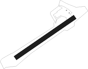
Bourg - L'alpe D'huez
Airport details
| Country | France |
| State | Auvergne-Rhône-Alpes |
| Region | LF |
| Airspace | Marseille Ctr |
| Municipality | Huez |
| Elevation | 6103ft (1860m) |
| Timezone | GMT +1 |
| Coordinates | 45.08887, 6.08556 |
| Magnetic var | |
| Type | land |
| Available since | X-Plane v10.40 |
| ICAO code | LFHU |
| IATA code | AHZ |
| FAA code | n/a |
Communication
| L'Alpe d'Huez CTAF | 120.600 |
Nearby Points of Interest:
Pavillon Keller
-Château d'Herbeys
-Chapelle Saint-Anne
-Châtel de Theys
-Abbaye des Ayes (Crolles, France)
-Alpexpo
-Town hall of Grenoble
-Vauban powder magazine in Grenoble
-Bibliothèque municipale de Grenoble
-Isère prefecture (building)
-Hôtel de François Marc
-Palais du parlement du Dauphiné
-Garage hélicoïdal de Grenoble
-Manoir de la Tour
-Puits de Rioux
-Pont Morens
-Hôtel Nicolle de La Place
-Pertuis Rostan
-Cellier de la maison Planche
-Téléphérique de Terre Rouge
Nearby beacons
| code | identifier | dist | bearing | frequency |
|---|---|---|---|---|
| CH | CHAMBERY NDB | 31.4 | 338° | 346 |
| EG | GRENOBLE NDB | 33.4 | 292° | 397 |
| LTP | LA TOUR DU PIN VOR/DME | 36.3 | 302° | 115.55 |
| WS | GRENOBLE NDB | 42.7 | 286° | 291 |
| AT | ANNECY NDB | 46.4 | 355° | 384 |
| CBY | CHAMBERY VOR/DME | 49.5 | 338° | 115.40 |
| LSE | LYON SAINT EXUPERY VOR/DME | 57.5 | 303° | 114.75 |
Disclaimer
The information on this website is not for real aviation. Use this data with the X-Plane flight simulator only! Data taken with kind consent from X-Plane 12 source code and data files. Content is subject to change without notice.