Frontenas - Villefranche Tarare
Airport details
| Country | France |
| State | Auvergne-Rhône-Alpes |
| Region | LF |
| Airspace | Marseille Ctr |
| Municipality | Frontenas |
| Elevation | 1076ft (328m) |
| Timezone | GMT +1 |
| Coordinates | 45.91938, 4.63264 |
| Magnetic var | |
| Type | land |
| Available since | X-Plane v10.40 |
| ICAO code | LFHV |
| IATA code | XVF |
| FAA code | n/a |
Communication
| Villefranche Tarare CTAF | 118.250 |
| Villefranche Tarare Tw | 118.250 |
| Villefranche Tarare Dep | 118.250 |
Nearby Points of Interest:
chateau de bagnols
-Château de Lissieu
-Sainte Marie de La Tourette
-Hôtel du gouverneur des Dombes
-Imprimerie de Trévoux
-Pont de Frans
-Pont suspendu de Beauregard
-Manoir de Parsonge
-J.-B. Martin's old weaving factory
-Maison natale de Jean-Marie Vianney
-Fortin de Rancé
-Panoramic tower of La Duchère
-Immeuble Les Érables de La Duchère
-Villa de Madame Garnier
-Villa Tony Garnier (Lyon, 7 rue de la Mignonne)
-Immeuble Cateland
-Maison des Frères des Écoles chrétiennes
-Villa Gillet (Lyon)
-Chartreuse de Lyon
-École de tissage de Lyon
-chartreuse de Poleteins
-Chapelle Saint-Thomas
-Condition des Soies
-Hôtel de Ville de Lyon
-monument fontaine à Jean-Pierre Pléney
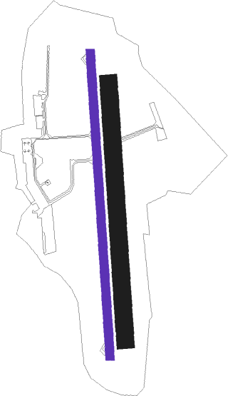
Runway info
| Runway 18 / 36 | ||
| length | 1041m (3415ft) | |
| bearing | 181° / 1° | |
| width | 30m (98ft) | |
| surface | asphalt | |
| displ threshold | 103m (338ft) / 42m (138ft) | |
Runway 18L / 36R  | ||
| length | 881m (2890ft) | |
| bearing | 181° / 1° | |
| width | 60m (197ft) | |
| surface | grass | |
Nearby beacons
| code | identifier | dist | bearing | frequency |
|---|---|---|---|---|
| LSE | LYON SAINT EXUPERY VOR/DME | 21.8 | 111° | 114.75 |
| EB | SAINT ETIENNE NDB | 22.3 | 231° | 379 |
| BR | LYON-BRON NDB | 23.6 | 130° | 388 |
| VNE | VIENNE REVENTIN VOR | 24.1 | 145° | 108.20 |
| RNN | ROANNE NDB | 27.4 | 288° | 358 |
| BO | SAINT ETIENNE NDB | 27.7 | 220° | 299 |
| ROA | ROANNE VOR | 27.7 | 282° | 110.25 |
| SN | SAINT YAN NDB | 30.9 | 306° | 430 |
| WS | GRENOBLE NDB | 39.9 | 137° | 291 |
| LTP | LA TOUR DU PIN VOR/DME | 42.5 | 118° | 115.55 |
| EG | GRENOBLE NDB | 46.3 | 126° | 397 |
| CC | CHAMPFORGEUIL NDB | 48.9 | 15° | 391 |
| PY | LE PUY NDB | 64.1 | 222° | 372 |
Instrument approach procedures
| runway | airway (heading) | route (dist, bearing) |
|---|---|---|
| RWNVA | HV401 (211°) | HV401 4100ft IHV18 (5mi, 271°) 4000ft FHV18 (5mi, 181°) 4000ft |
| RWNVA | HV402 (152°) | HV402 4500ft IHV18 (5mi, 91°) 4000ft FHV18 (5mi, 181°) 4000ft |
| RWNVA | IHV18 (182°) | IHV18 4000ft FHV18 (5mi, 181°) 4000ft |
| RNAV | FHV18 4000ft LFHV (8mi, 182°) 1124ft HV410 (3mi, 178°) TALAR (5mi, 340°) 4500ft TALAR (turn) 6000ft |
Disclaimer
The information on this website is not for real aviation. Use this data with the X-Plane flight simulator only! Data taken with kind consent from X-Plane 12 source code and data files. Content is subject to change without notice.