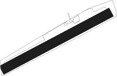
Moulins - Chalais
Airport details
| Country | France |
| State | Nouvelle-Aquitaine |
| Region | LF |
| Airspace | Bordeaux Ctr |
| Municipality | Chalais |
| Elevation | 285ft (87m) |
| Timezone | GMT +1 |
| Coordinates | 45.26694, 0.01583 |
| Magnetic var | |
| Type | land |
| Available since | X-Plane v10.40 |
| ICAO code | LFIH |
| IATA code | n/a |
| FAA code | n/a |
Communication
Nearby Points of Interest:
Cloister of Chalais
-église Saint-Jean-Baptiste (Guizengeard)
-Commandry of Cressac
-Market hall in Baignes-Sainte-Radegonde
-Abbaye de Puypéroux
-colombier de la Ferrière
-Église Saint-Mathias
-Moulin du Barrage
-chartreuse de Vauclaire
-Manufacture d'Abzac
-Château du Bourbet
-Château de Lascoux
-Les Vachons
-Halles de Villebois-Lavalette
-La Chaire a Calvin
-Château de La Tour Ségur
-Abbaye Notre-Dame de la Faise
-Colombier de La Tour-Blanche
-Château de Beauséjour
-Madonna mit Kind
-Château du Bouchillon
-Nécropole d'Édon
-porte de ville de Jonzac
-château de Sales
-Chateau de Pitray
Nearby beacons
| code | identifier | dist | bearing | frequency |
|---|---|---|---|---|
| NB | BORDEAUX NDB | 24.9 | 258° | 361 |
| CGC | COGNAC CHATEAUBERNARD TACAN | 27.3 | 321° | 116.20 |
| CNA | COGNAC CHATEAUBERNARD VOR/DME | 27.3 | 320° | 114.65 |
| OC | COGNAC NDB | 29.4 | 340° | 346 |
| BE | BORDEAUX NDB | 29.5 | 226° | 318 |
| BD | BORDEAUX NDB | 31.5 | 240° | 393 |
| AGO | ANGOULEME NDB | 31.7 | 43° | 404 |
| SAU | SAUVETERRE DE GUYENNE VOR | 36.1 | 196° | 116.80 |
| BGC | BERGERAC NDB | 37.1 | 127° | 374 |
| PX | PERIGUEUX NDB | 38.4 | 96° | 389 |
| BMC | BORDEAUX MERIGNAC VOR/DME | 40.9 | 239° | 113.75 |
| RY | ROYAN NDB | 42.6 | 292° | 427 |
| ROC | ROCHEFORT NDB | 56.2 | 302° | 396 |
Disclaimer
The information on this website is not for real aviation. Use this data with the X-Plane flight simulator only! Data taken with kind consent from X-Plane 12 source code and data files. Content is subject to change without notice.
