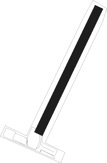
Saint-inglevert - St Inglevert
Airport details
| Country | France |
| State | Hauts-de-France |
| Region | LF |
| Airspace | Paris Ctr |
| Municipality | Saint-Inglevert |
| Elevation | 440ft (134m) |
| Timezone | GMT +1 |
| Coordinates | 50.88250, 1.73611 |
| Magnetic var | |
| Type | land |
| Available since | X-Plane v10.40 |
| ICAO code | LFIS |
| IATA code | n/a |
| FAA code | n/a |
Communication
Nearby Points of Interest:
Boulogne–Calais railway
-Grand Site des Deux Caps
-Phare du cap Gris-Nez
-Town hall of Calais
-Fort Mahon
-Château de Colembert
-Abbaye des Prémontrés de Licques
-Mémorial de la Légion d'honneur
-tunnel d'Odre
-Château de Boulogne-sur-Mer
-Tour d'Ordre
-Vieux-Boulogne
-palais de justice de Boulogne-sur-Mer
-abbaye Saint-Wilmer de Boulogne-sur-Mer
-Hôtel Désandrouin
-Phare Carnot de Boulogne-sur-Mer
-Britannia
-Église Saint-François-de-Sales de Boulogne-sur-Mer
-pont en pierre de Boulogne-sur-Mer
-Château de Pont-de-Briques
-Phare du Portel
-Château d'Hesdin-l'Abbé
-Église Saint-Pierre d'Équihen-Plage
-City walls of Gravelines
-SM U-8
Nearby beacons
| code | identifier | dist | bearing | frequency |
|---|---|---|---|---|
| ING | SAINT INGLEVERT NDB | 0.2 | 83° | 387 |
| MK | CALAIS-DUNKERQUE NDB | 13.8 | 70° | 418 |
| BNE | BOULOGNE SUR MER VOR | 16.7 | 146° | 113.80 |
| DVR | DOVER VOR/DME | 22 | 307° | 114.95 |
| LZD | LYDD NDB | 30.5 | 275° | 397 |
| LYD | LYDD VOR/DME | 33.2 | 278° | 114.05 |
| KOK | KOKSY VORTAC | 36.8 | 77° | 114.50 |
| MVC | MERVILLE NDB | 37.3 | 110° | 327 |
| MRV | MERVILLE NDB | 38.9 | 102° | 404 |
| ABB | ABBEVILLE VOR/DME | 45.1 | 171° | 108.45 |
| DPE | DIEPPE VOR | 61.4 | 211° | 115.80 |
| CLN | CLACTON VOR/DME | 62 | 329° | 114.55 |
Disclaimer
The information on this website is not for real aviation. Use this data with the X-Plane flight simulator only! Data taken with kind consent from X-Plane 12 source code and data files. Content is subject to change without notice.
