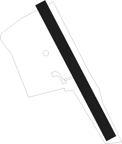
Saint Galmier
Airport details
| Country | France |
| State | Auvergne-Rhône-Alpes |
| Region | LF |
| Airspace | Marseille Ctr |
| Municipality | Saint-Galmier |
| Elevation | 1266ft (386m) |
| Timezone | GMT +1 |
| Coordinates | 45.60639, 4.30500 |
| Magnetic var | |
| Type | land |
| Available since | X-Plane v10.40 |
| ICAO code | LFKM |
| IATA code | n/a |
| FAA code | n/a |
Communication
| Saint Galmier CTAF | 123.500 |
Nearby Points of Interest:
Hôtel de ville de Saint-Étienne
-Hôtel Subit-Gouyon
-Hôtel de Villeneuve
-Immeuble - 15 rue Gambetta (Saint-Étienne)
-Immeuble Moderne
-Hôpital de La Charité
-Palais Mimard
-Centrale électrique de Manufrance
-J.-B. Martin's old weaving factory
-Sainte Marie de La Tourette
-Canal de Givors
-Tourbière de Gimel
-Château de Rochefort
-Maison natale de Jean-Marie Vianney
-chateau de bagnols
-Manoir de Parsonge
-Hospice Debrousse
-Immeuble Les Érables de La Duchère
-Panoramic tower of La Duchère
-Gare du Bourbonnais
-Immeuble Cateland
-Antiquaille Hospital
-Chapelle Saint-Thomas
-École de tissage de Lyon
-Villa Gillet (Lyon)
Nearby beacons
| code | identifier | dist | bearing | frequency |
|---|---|---|---|---|
| EB | SAINT ETIENNE NDB | 2 | 326° | 379 |
| BO | SAINT ETIENNE NDB | 5.1 | 184° | 299 |
| VNE | VIENNE REVENTIN VOR | 24.4 | 95° | 108.20 |
| BR | LYON-BRON NDB | 28.8 | 89° | 388 |
| ROA | ROANNE VOR | 30 | 326° | 110.25 |
| RNN | ROANNE NDB | 32.3 | 332° | 358 |
| LSE | LYON SAINT EXUPERY VOR/DME | 34 | 80° | 114.75 |
| TIS | THIERS VOR/DME | 35.5 | 290° | 117.50 |
| WS | GRENOBLE NDB | 38.5 | 106° | 291 |
| PY | LE PUY NDB | 40.9 | 220° | 372 |
| ASM | CLERMONT-FERRAND/AUVERGNE NDB | 41.3 | 282° | 367 |
| SN | SAINT YAN NDB | 42 | 345° | 430 |
| VZ | VICHY NDB | 49.2 | 300° | 403 |
| VE | VALENCE NDB | 53.1 | 139° | 320 |
Disclaimer
The information on this website is not for real aviation. Use this data with the X-Plane flight simulator only! Data taken with kind consent from X-Plane 12 source code and data files. Content is subject to change without notice.
