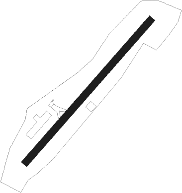
Pratz - Saint Claude
Airport details
| Country | France |
| State | Bourgogne-Franche-Comté |
| Region | LF |
| Airspace | Marseille Ctr |
| Municipality | Lavans-lès-Saint-Claude |
| Elevation | 2049ft (625m) |
| Timezone | GMT +1 |
| Coordinates | 46.38354, 5.76831 |
| Magnetic var | |
| Type | land |
| Available since | X-Plane v10.40 |
| ICAO code | LFKZ |
| IATA code | n/a |
| FAA code | n/a |
Communication
| Saint Claude CTAF | 130.000 |
Nearby Points of Interest:
Sanctuaire gallo-romain de Villards d’Héria
-Chapelle des Carmes de Saint-Claude
-palais abbatial de Saint-Claude
-Lac d'Onoz
-Borne frontière de la Buna
-Table d'orientation de Montrond
-Lac Genin
-Le Grand Lac de Clairvaux
-Hôtel de ville de Morez
-Fontaine-lavoir de Villechantria
-Pont des Vents
-Gare de La Cluse
-Cintia Valeria Ramos
-church of the former Bonmont abbey
-Allondon
-Grotte de Corveissiat
-Town hall of Bellegarde-sur-Valserine
-site archéologique du lac de Chalain
-Croix monumentale de Balanod
-Fontaine aux dauphins de Conliège
-Maison de la Familiarité
-Archives of the International Committee of the Red Cross
-Institut et Musée des Suisses dans le monde
-Military Museum of Geneva
-École Geisendorf, Genève
Nearby beacons
| code | identifier | dist | bearing | frequency |
|---|---|---|---|---|
| PAS | PASSEIRY VOR/DME | 16.3 | 134° | 116.60 |
| GVA | GENEVA VOR/DME | 16.9 | 110° | 115.75 |
| GLA | GLAND NDB | 19.7 | 87° | 375 |
| SPR | ST PREX VOR/DME | 28.6 | 83° | 113.90 |
| CBY | CHAMBERY VOR/DME | 30.1 | 181° | 115.40 |
| LAP | PRAZ DME | 31.9 | 66° | 110.65 |
| AT | ANNECY NDB | 33 | 154° | 384 |
| DO | DOLE NDB | 40.5 | 322° | 309 |
| CC | CHAMPFORGEUIL NDB | 43.2 | 290° | 391 |
| LSE | LYON SAINT EXUPERY VOR/DME | 47.5 | 227° | 114.75 |
| CH | CHAMBERY NDB | 47.7 | 172° | 346 |
| LTP | LA TOUR DU PIN VOR/DME | 55.4 | 200° | 115.55 |
| BSV | BESANCON NDB | 55.9 | 26° | 370 |
| BR | LYON-BRON NDB | 56.3 | 225° | 388 |
| DJL | DIJON LONGVIC VOR/DME | 59.9 | 323° | 111.45 |
| VNE | VIENNE REVENTIN VOR | 61.9 | 227° | 108.20 |
Disclaimer
The information on this website is not for real aviation. Use this data with the X-Plane flight simulator only! Data taken with kind consent from X-Plane 12 source code and data files. Content is subject to change without notice.