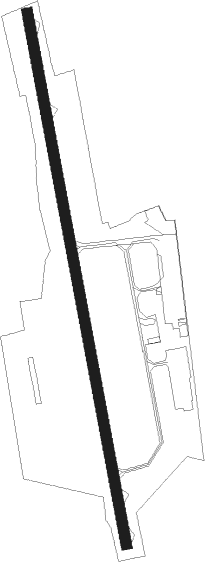
Mâcon/charnay - Macon Charnay
Airport details
| Country | France |
| State | Bourgogne-Franche-Comté |
| Region | LF |
| Airspace | Marseille Ctr |
| Municipality | Charnay-lès-Mâcon |
| Elevation | 728ft (222m) |
| Timezone | GMT +1 |
| Coordinates | 46.29592, 4.79586 |
| Magnetic var | |
| Type | land |
| Available since | X-Plane v10.40 |
| ICAO code | LFLM |
| IATA code | QNX |
| FAA code | n/a |
Communication
| Macon Charnay INFO | 119.000 |
Nearby Points of Interest:
Immeuble de logements curviligne
-Ancien Lycée Lamartine
-hospice de la Charité
-Hôtel de Rossan de Davayé
-Hôtel de ville de Mâcon
-Hôtel Senecé
-Maison, 40 rue Carnot (Mâcon)
-Maison, 51 rue Carnot
-Hôtel-Dieu
-Hôtel de Lamartine
-Maison, 10 rue Sigorgne
-Hôtel Vantey
-Maison, 30 rue Philibert-Laguiche
-couvent des Ursulines de Mâcon
-Tour des Archives départementales de Saône-et-Loire
-Puits couvert de Vinzelles
-Domaine du château de Layé et du Vieux-Château de Vinzelles
-Centre nautique Paul-Bert
-Maison Rubat
-Crottet abbey
-Château de Saint-Martin-Belle-Roche
-Carmel de la Paix
-Prieuré des Moines
-Chapelle Saint-Odilon
-Hôtel des Monnaies de Cluny
Nearby beacons
| code | identifier | dist | bearing | frequency |
|---|---|---|---|---|
| CC | CHAMPFORGEUIL NDB | 25.6 | 6° | 391 |
| SN | SAINT YAN NDB | 27.9 | 270° | 430 |
| RNN | ROANNE NDB | 33.4 | 256° | 358 |
| LSE | LYON SAINT EXUPERY VOR/DME | 35.2 | 152° | 114.75 |
| ROA | ROANNE VOR | 36 | 253° | 110.25 |
| BR | LYON-BRON NDB | 41.6 | 164° | 388 |
| VNE | VIENNE REVENTIN VOR | 44.5 | 173° | 108.20 |
| EB | SAINT ETIENNE NDB | 44.9 | 218° | 379 |
| DO | DOLE NDB | 46.1 | 37° | 309 |
| CBY | CHAMBERY VOR/DME | 47.1 | 113° | 115.40 |
| BO | SAINT ETIENNE NDB | 50.9 | 213° | 299 |
| LTP | LA TOUR DU PIN VOR/DME | 55.4 | 141° | 115.55 |
| WS | GRENOBLE NDB | 58 | 159° | 291 |
| DJL | DIJON LONGVIC VOR/DME | 59.8 | 17° | 111.45 |
| EG | GRENOBLE NDB | 61.3 | 147° | 397 |
Disclaimer
The information on this website is not for real aviation. Use this data with the X-Plane flight simulator only! Data taken with kind consent from X-Plane 12 source code and data files. Content is subject to change without notice.
