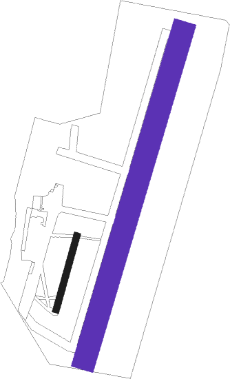
Montélimar - Montélimar Ancône
Airport details
| Country | France |
| State | Auvergne-Rhône-Alpes |
| Region | LF |
| Airspace | Marseille Ctr |
| Municipality | Montélimar |
| Elevation | 241ft (73m) |
| Timezone | GMT +1 |
| Coordinates | 44.58028, 4.73917 |
| Magnetic var | |
| Type | land |
| Available since | X-Plane v10.40 |
| ICAO code | LFLQ |
| IATA code | n/a |
| FAA code | n/a |
Communication
| Montélimar Ancône CTAF | 128.800 |
Nearby Points of Interest:
Domaine de Serre de Parc
-Maison dite de Diane de Poitiers
-Borne milliaire de Mélas
-Bornes milliaires de Cruas
-Ancien village d'Allan
-Hôtel Beaulieu
-Hôtel de Tourville
-immeuble Lacombe
-Hôtel de Roqueplane
-Auberge La Cardinale
-Villa du Mollard
-poterie de Cliousclat
-Chapelle Saint-Germain de Roussas
-Gendarmerie de Villeneuve-de-Berg
-Hôtel du Sénéchal (Villeneuve-de-Berg)
-Maison d'Olivier de Serres
-Porte de l'Hôpital
-Hôtel de Diane de Poitiers
-Ancien temple protestant du Poët-Laval
-Château des comtes de Poitiers
-viaduc de La Voulte
-Hôtel de Gabriac
-Fonderie de La Voulte-sur-Rhône
-Le Vialle de Grillon
-Maison Delichères
Nearby beacons
| code | identifier | dist | bearing | frequency |
|---|---|---|---|---|
| MTL | MONTELIMAR ANCONE VOR/DME | 2.3 | 122° | 113.65 |
| VE | VALENCE NDB | 18.5 | 39° | 320 |
| ORG | ORANGE NDB | 26.5 | 165° | 328 |
| ORG | ORANGE TACAN | 27 | 164° | 109.40 |
| AVN | AVIGNON VOR/DME | 35.1 | 179° | 114.60 |
| DA | ALES CEVENNES NDB | 40.1 | 229° | 402 |
| AN | CAUMONT DME-ILS | 40.7 | 166° | 110.50 |
| CM | AVIGNON CAUMONT NDB | 40.9 | 166° | 369 |
| NG | NIMES NDB | 45.7 | 205° | 354 |
| SCL | SAINT CHRISTOL NDB | 45.7 | 125° | 348 |
| PY | LE PUY NDB | 47.3 | 295° | 372 |
| WS | GRENOBLE NDB | 50.1 | 28° | 291 |
| NG | GARONS DME-ILS | 50.8 | 202° | 109.55 |
| EG | GRENOBLE NDB | 54.7 | 40° | 397 |
| VNE | VIENNE REVENTIN VOR | 58.9 | 8° | 108.20 |
| BO | SAINT ETIENNE NDB | 59.4 | 335° | 299 |
| SAL | SALON DE PROVENCE NDB | 60.2 | 160° | 334 |
| LTP | LA TOUR DU PIN VOR/DME | 62.1 | 38° | 115.55 |
Disclaimer
The information on this website is not for real aviation. Use this data with the X-Plane flight simulator only! Data taken with kind consent from X-Plane 12 source code and data files. Content is subject to change without notice.

