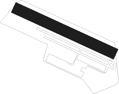
Saint Martin De Londres
Airport details
| Country | France |
| State | Occitania |
| Region | LF |
| Airspace | Marseille Ctr |
| Municipality | Mas-de-Londres |
| Elevation | 597ft (182m) |
| Timezone | GMT +1 |
| Coordinates | 43.80028, 3.78167 |
| Magnetic var | |
| Type | land |
| Available since | X-Plane v10.40 |
| ICAO code | LFNL |
| IATA code | n/a |
| FAA code | n/a |
Communication
| Saint Martin de Londres INFO | 122.500 |
Nearby Points of Interest:
Chapelle St-Jean de Laroque
-église Saint-Étienne d'Argelliers
-Château de Saint-Laurent-le-Minier
-Saint-Hippolyte-du-Fort war memorial
-Scots College, Montpellier
-Pipe organ in Saint-Guilhem-le-Désert abbey church
-Aniane war memorial
-house known as the bishopric
-gorges de l'Hérault
-glacière de Castelnau-le-Lez
-Oppidum de Mus
-Duffau hotel
-promenade of Peyrou
-Cambacérès-Murles hotel
-Palais de Justice de Montpellier
-Belleval hotel
-Uston hotel
-Pipe organ of Basilique Notre-Dame des Tables de Montpellier
-Lunas hotel
-Ancienne synagogue de Montpellier
-boutique hotel baudon de mauny
-Griffy hotel
-Varennes hotel
-Bachy-du-Cayla hotel
-treasurer's Hotel of the stock exchange
Nearby beacons
| code | identifier | dist | bearing | frequency |
|---|---|---|---|---|
| FJR | MONTPELLIER MEDITERRANEE VOR/DME | 15.7 | 139° | 114.45 |
| FG | MONTPELLIER NDB | 17.7 | 136° | 339 |
| DA | ALES CEVENNES NDB | 22.3 | 54° | 402 |
| NG | NIMES NDB | 27.2 | 85° | 354 |
| NG | GARONS DME-ILS | 27.6 | 93° | 109.55 |
| ZR | VIAS DME-ILS | 34.3 | 222° | 109.35 |
| ZR | BEZIERS VIAS NDB | 35.7 | 226° | 397 |
| AVN | AVIGNON VOR/DME | 43.3 | 79° | 114.60 |
| MEN | MENDE VOR/DME | 55.3 | 323° | 115.30 |
| MTL | MONTELIMAR ANCONE VOR/DME | 62.4 | 53° | 113.65 |
Disclaimer
The information on this website is not for real aviation. Use this data with the X-Plane flight simulator only! Data taken with kind consent from X-Plane 12 source code and data files. Content is subject to change without notice.
